Artículo
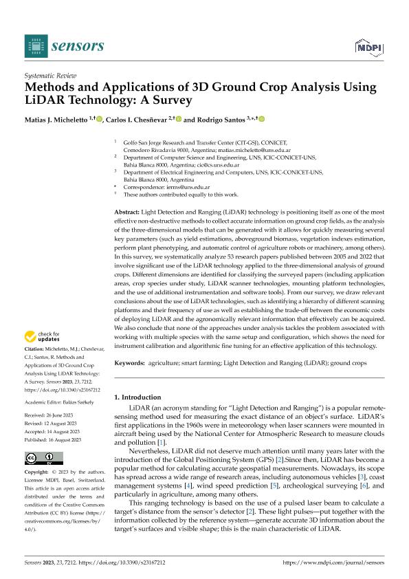
Methods and Applications of 3D Ground Crop Analysis Using LiDAR Technology: A Survey
Fecha de publicación:
08/2023
Editorial:
Molecular Diversity Preservation International
Revista:
Sensors
ISSN:
1424-8220
Idioma:
Inglés
Tipo de recurso:
Artículo publicado
Clasificación temática:
Resumen
Light Detection and Ranging (LiDAR) technology is positioning itself as one of the most effective non-destructive methods to collect accurate information on ground crop fields, as the analysis of the three-dimensional models that can be generated with it allows for quickly measuring several key parameters (such as yield estimations, aboveground biomass, vegetation indexes estimation, perform plant phenotyping, and automatic control of agriculture robots or machinery, among others). In this survey, we systematically analyze 53 research papers published between 2005 and 2022 that involve significant use of the LiDAR technology applied to the three-dimensional analysis of ground crops. Different dimensions are identified for classifying the surveyed papers (including application areas, crop species under study, LiDAR scanner technologies, mounting platform technologies, and the use of additional instrumentation and software tools). From our survey, we draw relevant conclusions about the use of LiDAR technologies, such as identifying a hierarchy of different scanning platforms and their frequency of use as well as establishing the trade-off between the economic costs of deploying LiDAR and the agronomically relevant information that effectively can be acquired. We also conclude that none of the approaches under analysis tackles the problem associated with working with multiple species with the same setup and configuration, which shows the need for instrument calibration and algorithmic fine tuning for an effective application of this technology.
Archivos asociados
Licencia
Identificadores
Colecciones
Articulos (ICIC)
Articulos de INSTITUTO DE CS. E INGENIERIA DE LA COMPUTACION
Articulos de INSTITUTO DE CS. E INGENIERIA DE LA COMPUTACION
Citación
Micheletto, Matías Javier; Chesñevar, Carlos Iván; Santos, Rodrigo Martin; Methods and Applications of 3D Ground Crop Analysis Using LiDAR Technology: A Survey; Molecular Diversity Preservation International; Sensors; 23; 16; 8-2023; 1-19
Compartir
Altmétricas


