Artículo
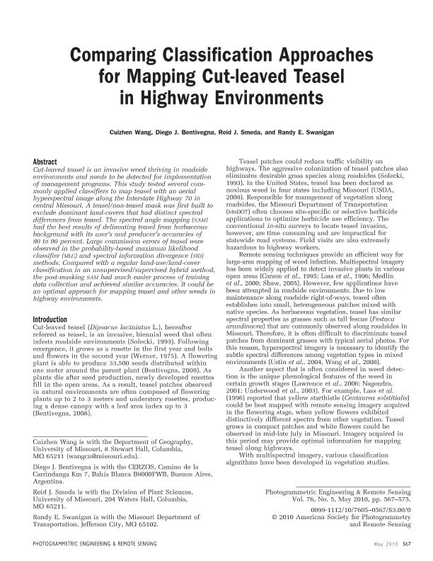
Comparing classification approaches for mapping cut-leaved teasel in highway environments
Fecha de publicación:
01/05/2010
Editorial:
Amer Soc Photogrammetry
Revista:
Photogrammetric Engineering And Remote Sensing
ISSN:
0099-1112
Idioma:
Inglés
Tipo de recurso:
Artículo publicado
Clasificación temática:
Resumen
Cut-leaved teasel is an invasive weed thriving in roadside environments and needs to be detected for implementation of management programs. This study tested several commonly applied classifiers to map teasel with an aerial hyperspectral image along the Interstate Highway 70 in central Missouri. A teasel/non-teasel mask was first built to exclude dominant land-covers that had distinct spectral differences from teasel. The spectral angle mapping (SAM) had the best results of delineating teasel from herbaceous background with its user’s and producer’s accuracies of 80 to 90 percent. Large commission errors of teasel were observed in the probability-based maximum likelihood classifier (MLC) and spectral information divergence (SID) methods. Compared with a regular land-use/land-cover classification in an unsupervised/supervised hybrid method, the post-masking SAM had much easier process of training data collection and achieved similar accuracies. It could be an optimal approach for mapping teasel and other weeds in highway environments.
Palabras clave:
Hyperspectral
,
Teasel
,
Mapping
Archivos asociados
Licencia
Identificadores
Colecciones
Articulos(CERZOS)
Articulos de CENTRO REC.NAT.RENOVABLES DE ZONA SEMIARIDA(I)
Articulos de CENTRO REC.NAT.RENOVABLES DE ZONA SEMIARIDA(I)
Citación
Wang, Cuizhen; Bentivegna, Diego Javier; Smeda, Reid J.; Swanigan, Randy E.; Comparing classification approaches for mapping cut-leaved teasel in highway environments; Amer Soc Photogrammetry; Photogrammetric Engineering And Remote Sensing; 76; 9; 1-5-2010; 567-575
Compartir
Altmétricas


