Mostrar el registro sencillo del ítem
dc.contributor.author
Giannini Kurina, Franca

dc.contributor.author
Hang, Susana

dc.contributor.author
Córdoba, Mariano

dc.contributor.author
Negro, Gustavo José

dc.contributor.author
Balzarini, Monica Graciela

dc.date.available
2021-06-04T12:27:16Z
dc.date.issued
2018-01
dc.identifier.citation
Giannini Kurina, Franca; Hang, Susana; Córdoba, Mariano; Negro, Gustavo José; Balzarini, Monica Graciela; Enhancing edaphoclimatic zoning by adding multivariate spatial statistics to regional data; Elsevier Science; Geoderma; 310; 1-2018; 170-177
dc.identifier.issn
0016-7061
dc.identifier.uri
http://hdl.handle.net/11336/133198
dc.description.abstract
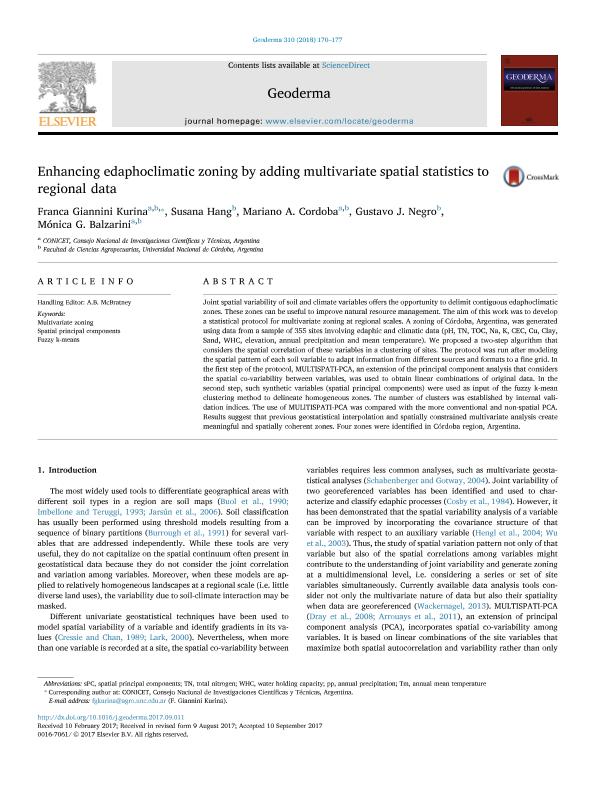
Joint spatial variability of soil and climate variables offers the opportunity to delimit contiguous edaphoclimatic zones. These zones can be useful to improve natural resource management. The aim of this work was to develop a statistical protocol for multivariate zoning at regional scales. A zoning of Córdoba, Argentina, was generated using data from a sample of 355 sites involving edaphic and climatic data (pH, TN, TOC, Na, K, CEC, Cu, Clay, Sand, WHC, elevation, annual precipitation and mean temperature). We proposed a two-step algorithm that considers the spatial correlation of these variables in a clustering of sites. The protocol was run after modeling the spatial pattern of each soil variable to adapt information from different sources and formats to a fine grid. In the first step of the protocol, MULTISPATI-PCA, an extension of the principal component analysis that considers the spatial co-variability between variables, was used to obtain linear combinations of original data. In the second step, such synthetic variables (spatial principal components) were used as input of the fuzzy k-mean clustering method to delineate homogeneous zones. The number of clusters was established by internal validation indices. The use of MULlTISPATI-PCA was compared with the more conventional and non-spatial PCA. Results suggest that previous geostatistical interpolation and spatially constrained multivariate analysis create meaningful and spatially coherent zones. Four zones were identified in Córdoba region, Argentina.
dc.format
application/pdf
dc.language.iso
eng
dc.publisher
Elsevier Science

dc.rights
info:eu-repo/semantics/openAccess
dc.rights.uri
https://creativecommons.org/licenses/by-nc-sa/2.5/ar/
dc.subject
FUZZY K-MEANS
dc.subject
MULTIVARIATE ZONING
dc.subject
SPATIAL PRINCIPAL COMPONENTS
dc.subject.classification
Ciencias del Suelo

dc.subject.classification
Agricultura, Silvicultura y Pesca

dc.subject.classification
CIENCIAS AGRÍCOLAS

dc.title
Enhancing edaphoclimatic zoning by adding multivariate spatial statistics to regional data
dc.type
info:eu-repo/semantics/article
dc.type
info:ar-repo/semantics/artículo
dc.type
info:eu-repo/semantics/publishedVersion
dc.date.updated
2021-06-02T12:14:34Z
dc.journal.volume
310
dc.journal.pagination
170-177
dc.journal.pais
Países Bajos

dc.journal.ciudad
Amsterdam
dc.description.fil
Fil: Giannini Kurina, Franca. Instituto Nacional de Tecnología Agropecuaria. Centro de Investigaciones Agropecuarias. Unidad de Fitopatología y Modelización Agrícola - Consejo Nacional de Investigaciones Científicas y Técnicas. Centro Científico Tecnológico Conicet - Córdoba. Unidad de Fitopatología y Modelización Agrícola; Argentina
dc.description.fil
Fil: Hang, Susana. Universidad Nacional de Córdoba. Facultad de Ciencias Agropecuarias; Argentina
dc.description.fil
Fil: Córdoba, Mariano. Instituto Nacional de Tecnología Agropecuaria. Centro de Investigaciones Agropecuarias. Unidad de Fitopatología y Modelización Agrícola - Consejo Nacional de Investigaciones Científicas y Técnicas. Centro Científico Tecnológico Conicet - Córdoba. Unidad de Fitopatología y Modelización Agrícola; Argentina
dc.description.fil
Fil: Negro, Gustavo José. Universidad Nacional de Córdoba. Facultad de Ciencias Agropecuarias; Argentina
dc.description.fil
Fil: Balzarini, Monica Graciela. Instituto Nacional de Tecnología Agropecuaria. Centro de Investigaciones Agropecuarias. Unidad de Fitopatología y Modelización Agrícola - Consejo Nacional de Investigaciones Científicas y Técnicas. Centro Científico Tecnológico Conicet - Córdoba. Unidad de Fitopatología y Modelización Agrícola; Argentina
dc.journal.title
Geoderma

dc.relation.alternativeid
info:eu-repo/semantics/altIdentifier/url/http://www.sciencedirect.com/science/article/pii/S001670611730232X
dc.relation.alternativeid
info:eu-repo/semantics/altIdentifier/doi/http://dx.doi.org/10.1016/j.geoderma.2017.09.011
Archivos asociados
