Artículo
Enhancing edaphoclimatic zoning by adding multivariate spatial statistics to regional data
Giannini Kurina, Franca ; Hang, Susana; Córdoba, Mariano
 ; Negro, Gustavo José; Balzarini, Monica Graciela
 ; Hang, Susana; Córdoba, Mariano
 ; Negro, Gustavo José; Balzarini, Monica Graciela
Fecha de publicación:
01/2018
Editorial:
Elsevier Science
Revista:
Geoderma
ISSN:
0016-7061
Idioma:
Inglés
Tipo de recurso:
Artículo publicado
Clasificación temática:
Resumen
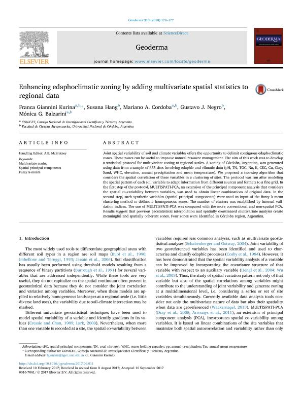
Joint spatial variability of soil and climate variables offers the opportunity to delimit contiguous edaphoclimatic zones. These zones can be useful to improve natural resource management. The aim of this work was to develop a statistical protocol for multivariate zoning at regional scales. A zoning of Córdoba, Argentina, was generated using data from a sample of 355 sites involving edaphic and climatic data (pH, TN, TOC, Na, K, CEC, Cu, Clay, Sand, WHC, elevation, annual precipitation and mean temperature). We proposed a two-step algorithm that considers the spatial correlation of these variables in a clustering of sites. The protocol was run after modeling the spatial pattern of each soil variable to adapt information from different sources and formats to a fine grid. In the first step of the protocol, MULTISPATI-PCA, an extension of the principal component analysis that considers the spatial co-variability between variables, was used to obtain linear combinations of original data. In the second step, such synthetic variables (spatial principal components) were used as input of the fuzzy k-mean clustering method to delineate homogeneous zones. The number of clusters was established by internal validation indices. The use of MULlTISPATI-PCA was compared with the more conventional and non-spatial PCA. Results suggest that previous geostatistical interpolation and spatially constrained multivariate analysis create meaningful and spatially coherent zones. Four zones were identified in Córdoba region, Argentina.
Palabras clave:
FUZZY K-MEANS
,
MULTIVARIATE ZONING
,
SPATIAL PRINCIPAL COMPONENTS
Archivos asociados
Licencia
Identificadores
Colecciones
Articulos(CCT - CORDOBA)
Articulos de CTRO.CIENTIFICO TECNOL.CONICET - CORDOBA
Articulos de CTRO.CIENTIFICO TECNOL.CONICET - CORDOBA
Citación
Giannini Kurina, Franca; Hang, Susana; Córdoba, Mariano; Negro, Gustavo José; Balzarini, Monica Graciela; Enhancing edaphoclimatic zoning by adding multivariate spatial statistics to regional data; Elsevier Science; Geoderma; 310; 1-2018; 170-177
Compartir
Altmétricas


