Mostrar el registro sencillo del ítem
dc.contributor.author
Mora, Omar E.
dc.contributor.author
Lenzano, María Gabriela

dc.contributor.author
Toth, Charles Karoly

dc.contributor.author
Grejner-Brzezinska, Dorota A.
dc.contributor.author
Fayne, Jessica V.
dc.date.available
2019-10-24T21:31:44Z
dc.date.issued
2018-01
dc.identifier.citation
Mora, Omar E.; Lenzano, María Gabriela; Toth, Charles Karoly; Grejner-Brzezinska, Dorota A.; Fayne, Jessica V.; Landslide change detection based on Multi-Temporal airborne LIDAR-derived DEMs; Molecular Diversity Preservation International; Geosciences; 8; 1; 1-2018; 1-19
dc.identifier.issn
2076-3263
dc.identifier.uri
http://hdl.handle.net/11336/87293
dc.description.abstract
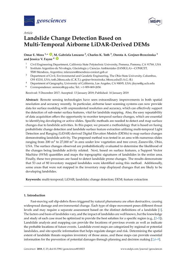
Remote sensing technologies have seen extraordinary improvements in both spatial resolution and accuracy recently. In particular, airborne laser scanning systems can now provide data for surface modeling with unprecedented resolution and accuracy, which can effectively support the detection of sub-meter surface features, vital for landslide mapping. Also, the easy repeatability of data acquisition offers the opportunity to monitor temporal surface changes, which are essential to identifying developing or active slides. Specific methods are needed to detect and map surface changes due to landslide activities. In this paper, we present a methodology that is based on fusing probabilistic change detection and landslide surface feature extraction utilizing multi-temporal Light Detection and Ranging (LiDAR) derived Digital Elevation Models (DEMs) to map surface changes demonstrating landslide activity. The proposed method was tested in an area with numerous slides ranging from 200 m2 to 27,000 m2 in area under low vegetation and tree cover, Zanesville, Ohio, USA. The surface changes observed are probabilistically evaluated to determine the likelihood of the changes being landslide activity related. Next, based on surface features, a Support Vector Machine (SVM) quantifies and maps the topographic signatures of landslides in the entire area. Finally, these two processes are fused to detect landslide prone changes. The results demonstrate that 53 out of 80 inventory mapped landslides were identified using this method. Additionally, some areas that were not mapped in the inventory map displayed changes that are likely to be developing landslides.
dc.format
application/pdf
dc.language.iso
eng
dc.publisher
Molecular Diversity Preservation International

dc.rights
info:eu-repo/semantics/openAccess
dc.rights.uri
https://creativecommons.org/licenses/by-nc-sa/2.5/ar/
dc.subject
CHANGE DETECTION
dc.subject
DEM
dc.subject
FEATURE EXTRACTION
dc.subject
LANDSLIDE
dc.subject
LIDAR
dc.subject
MULTI-TEMPORAL
dc.subject.classification
Otras Ingenierías y Tecnologías

dc.subject.classification
Otras Ingenierías y Tecnologías

dc.subject.classification
INGENIERÍAS Y TECNOLOGÍAS

dc.title
Landslide change detection based on Multi-Temporal airborne LIDAR-derived DEMs
dc.type
info:eu-repo/semantics/article
dc.type
info:ar-repo/semantics/artículo
dc.type
info:eu-repo/semantics/publishedVersion
dc.date.updated
2019-10-17T13:42:15Z
dc.journal.volume
8
dc.journal.number
1
dc.journal.pagination
1-19
dc.journal.pais
Suiza

dc.journal.ciudad
Basilea
dc.description.fil
Fil: Mora, Omar E.. California State Polytechnic University; Estados Unidos
dc.description.fil
Fil: Lenzano, María Gabriela. Consejo Nacional de Investigaciones Científicas y Técnicas. Centro Científico Tecnológico Conicet - Mendoza. Instituto Argentino de Nivología, Glaciología y Ciencias Ambientales. Provincia de Mendoza. Instituto Argentino de Nivología, Glaciología y Ciencias Ambientales. Universidad Nacional de Cuyo. Instituto Argentino de Nivología, Glaciología y Ciencias Ambientales; Argentina
dc.description.fil
Fil: Toth, Charles Karoly. Ohio State University; Estados Unidos
dc.description.fil
Fil: Grejner-Brzezinska, Dorota A.. Ohio State University; Estados Unidos
dc.description.fil
Fil: Fayne, Jessica V.. University of California at Los Angeles; Estados Unidos
dc.journal.title
Geosciences
dc.relation.alternativeid
info:eu-repo/semantics/altIdentifier/doi/http://dx.doi.org/10.3390/geosciences8010023
dc.relation.alternativeid
info:eu-repo/semantics/altIdentifier/url/https://www.mdpi.com/2076-3263/8/1/23
Archivos asociados
