Mostrar el registro sencillo del ítem
dc.contributor.author
Verón, Santiago Ramón
dc.contributor.author
de Abelleyra, Diego
dc.date.available
2019-09-26T20:17:12Z
dc.date.issued
2014-11
dc.identifier.citation
Verón, Santiago Ramón; de Abelleyra, Diego; Comparison of X and C band satellite radar images to characterize irrigated agricultural fields; Institute of Electrical and Electronics Engineers; International Geoscience and Remote Sensing Symposium; 11-2014; 2106-2109
dc.identifier.issn
2153-7003
dc.identifier.uri
http://hdl.handle.net/11336/84586
dc.description.abstract
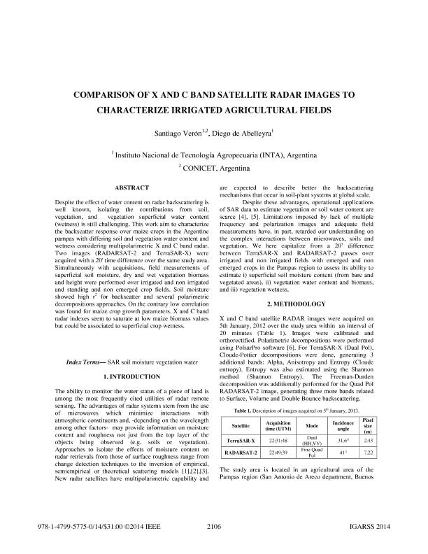
Despite the effect of water content on radar backscattering is well known, isolating the contributions from soil, vegetation, and vegetation superficial water content (wetness) is still challenging. This work aim to characterize the backscatter response over maize crops in the Argentine pampas with differing soil and vegetation water content and wetness considering multipolarimetric X and C band radar. Two images (RADARSAT-2 and TerraSAR-X) were acquired with a 20' time difference over the same study area. Simultaneously with acquisitions, field measurements of superficial soil moisture, dry and wet vegetation biomass and height were performed over irrigated and non irrigated and standing and non emerged crop fields. Soil moisture showed high r2for backscatter and several polarimetric decompositions approaches. On the contrary low correlation was found for maize crop growth parameters. X and C band radar indexes seem to saturate at low maize biomass values but could be associated to superficial crop wetness.
dc.format
application/pdf
dc.language.iso
eng
dc.publisher
Institute of Electrical and Electronics Engineers
dc.rights
info:eu-repo/semantics/openAccess
dc.rights.uri
https://creativecommons.org/licenses/by-nc-sa/2.5/ar/
dc.subject
maize
dc.subject
biomass
dc.subject
wetness
dc.subject
soil moisture
dc.subject.classification
Otras Ciencias de la Tierra y relacionadas con el Medio Ambiente
dc.subject.classification
Ciencias de la Tierra y relacionadas con el Medio Ambiente
dc.subject.classification
CIENCIAS NATURALES Y EXACTAS
dc.title
Comparison of X and C band satellite radar images to characterize irrigated agricultural fields
dc.type
info:eu-repo/semantics/article
dc.type
info:ar-repo/semantics/artículo
dc.type
info:eu-repo/semantics/publishedVersion
dc.date.updated
2019-09-24T12:51:58Z
dc.journal.pagination
2106-2109
dc.journal.pais
Estados Unidos
dc.description.fil
Fil: Verón, Santiago Ramón. Instituto Nacional de Tecnología Agropecuaria; Argentina. Consejo Nacional de Investigaciones Científicas y Técnicas; Argentina
dc.description.fil
Fil: de Abelleyra, Diego. Instituto Nacional de Tecnología Agropecuaria; Argentina
dc.journal.title
International Geoscience and Remote Sensing Symposium
dc.relation.alternativeid
info:eu-repo/semantics/altIdentifier/doi/http://dx.doi.org/10.1109/IGARSS.2014.6946881
dc.relation.alternativeid
info:eu-repo/semantics/altIdentifier/url/https://ieeexplore.ieee.org/document/6946881/
Archivos asociados
Tamaño:
1.355Mb
Formato:
PDF