Mostrar el registro sencillo del ítem
dc.contributor.author
Castro Franco, Mauricio

dc.contributor.author
Domenech, Marisa Beatriz

dc.contributor.author
Costa, Jose Luis

dc.contributor.author
Aparicio, Virginia Carolina

dc.date.available
2019-08-29T17:31:02Z
dc.date.issued
2017-01
dc.identifier.citation
Castro Franco, Mauricio; Domenech, Marisa Beatriz; Costa, Jose Luis; Aparicio, Virginia Carolina; Modelling effective soil depth at field scale from soil sensors and geomorphometric indices; Universidad Nacional de Colombia; Acta Agronomica; 66; 2; 1-2017; 228-234
dc.identifier.issn
0120-2812
dc.identifier.uri
http://hdl.handle.net/11336/82498
dc.description.abstract
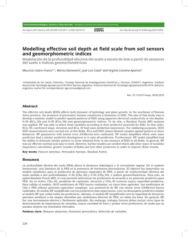
The effective soil depth (ESD) affects both dynamic of hydrology and plant growth. In the southeast of Buenos Aires province, the presence of petrocalcic horizon constitutes a limitation to ESD. The aim of this study was to develop a statistic model to predict spatial patterns of ESD using apparent electrical conductivity at two depths: 0-30 (ECa-30) and 0-90 (ECa-90) and geomorphometric indices. To do this, a Random Forest (RF) analysis was applied. RF was able to select those variables according to their predictive potential for ESD. In that order, ECa-90, catchment slope, elevation and ECa-30 had main prediction importance. For validating purposes, 3035 ESD measurements were carried out, in five fields. ECa and ESD values showed complex spatial pattern at short distances. RF parameters with lowest error (OOBerror) were calibrated. RF model simplified which uses main predictors had a similar predictive development to it uses all predictors. Furthermore, RF model simplified had the ability to delineate similar pattern to those obtained from in situ measure of ESD in all fields. In general, RF was an effective method and easy to work. However, further studies are needed which add other types of variables importance calculation, greater number of fields and test other predictors in order to improve these results.
dc.description.abstract
La profundidad efectiva del suelo (PES) afecta la dinámica hidrológica y el crecimiento vegetal. En el sudeste bonaerense, una limitante de la PES es la presencia de horizontes petrocálcicos. El objetivo fue desarrollar un modelo estadístico para la predicción de patrones espaciales de PES, a partir de conductividad eléctrica del suelo medida a dos profundidades: 0-30 (CEa_30) y 0-90 (CEa_90), e índices geomorfométricos. Para esto, se aplicó Random Forest (RF), el cual permitió seleccionar los predictores de acuerdo a su potencial predictivo para PES. En su orden, CEa_90, pendiente de captación, elevación y CEa_30 tuvieron mayor capacidad predictiva.
Para validar el modelo, 3035 mediciones de PES fueron realizadas, en cinco lotes agrícolas. Las mediciones de CEa y PES reflejan patrones espaciales complejos. Los parámetros de RF con menor error (OOBerror) fueron calibrados. El modelo RF simplificado con los predictores más importantes, tuvo un desempeño predictivo similar al modelo RF que utilizó todos los predictores. Además, el modelo RF simplificado tuvo la capacidad de demarcar patrones similares a los mapas obtenidos por mediciones directas de PES, en todos los lotes. En general, RF fue una herramienta efectiva y fácilmente aplicable. Sin embargo, trabajos futuros deben incluir otros tipos de determinación de importancia de variables, mayor cantidad de lotes y probar otros predictores, de modo que se puedan mejorar los resultados obtenidos.
dc.format
application/pdf
dc.language.iso
eng
dc.publisher
Universidad Nacional de Colombia

dc.rights
info:eu-repo/semantics/openAccess
dc.rights.uri
https://creativecommons.org/licenses/by-nc-nd/2.5/ar/
dc.subject
Feature Selection
dc.subject
Petrocalcic Horizon
dc.subject
Random Forest
dc.subject.classification
Ciencias del Suelo

dc.subject.classification
Agricultura, Silvicultura y Pesca

dc.subject.classification
CIENCIAS AGRÍCOLAS

dc.title
Modelling effective soil depth at field scale from soil sensors and geomorphometric indices
dc.title
Modelación de la profundidad efectiva del suelo a escala de lote a partir de sensores del suelo e índices geomorfométricos
dc.type
info:eu-repo/semantics/article
dc.type
info:ar-repo/semantics/artículo
dc.type
info:eu-repo/semantics/publishedVersion
dc.date.updated
2019-07-17T17:42:35Z
dc.identifier.eissn
2323-0118
dc.journal.volume
66
dc.journal.number
2
dc.journal.pagination
228-234
dc.journal.pais
Colombia

dc.journal.ciudad
Bogotá
dc.description.fil
Fil: Castro Franco, Mauricio. Consejo Nacional de Investigaciones Científicas y Técnicas. Centro Científico Tecnológico Conicet - Mar del Plata; Argentina
dc.description.fil
Fil: Domenech, Marisa Beatriz. Instituto Nacional de Tecnología Agropecuaria; Argentina
dc.description.fil
Fil: Costa, Jose Luis. Instituto Nacional de Tecnología Agropecuaria; Argentina
dc.description.fil
Fil: Aparicio, Virginia Carolina. Consejo Nacional de Investigaciones Científicas y Técnicas. Centro Científico Tecnológico Conicet - Mar del Plata; Argentina. Instituto Nacional de Tecnología Agropecuaria; Argentina
dc.journal.title
Acta Agronomica
dc.relation.alternativeid
info:eu-repo/semantics/altIdentifier/url/https://revistas.unal.edu.co/index.php/acta_agronomica/article/view/53282
dc.relation.alternativeid
info:eu-repo/semantics/altIdentifier/doi/http://dx.doi.org/10.15446/acag.v66n2.53282
Archivos asociados
