Mostrar el registro sencillo del ítem
dc.contributor.author
King, LeeAnn
dc.contributor.author
Adusei, Bernard
dc.contributor.author
Stehman, Stephen V.
dc.contributor.author
Potapov, Peter V.
dc.contributor.author
Song, Xiao Peng
dc.contributor.author
Krylov, Alexander
dc.contributor.author
Di Bella, Carlos Marcelo

dc.contributor.author
Loveland, Thomas R.
dc.contributor.author
Johnson, David M.
dc.contributor.author
Hansen, Matthew C.
dc.date.available
2019-03-26T19:59:15Z
dc.date.issued
2017-06
dc.identifier.citation
King, LeeAnn; Adusei, Bernard; Stehman, Stephen V.; Potapov, Peter V.; Song, Xiao Peng; et al.; A multi-resolution approach to national-scale cultivated area estimation of soybean; Elsevier Science Inc; Remote Sensing of Environment; 195; 6-2017; 13-29
dc.identifier.issn
0034-4257
dc.identifier.uri
http://hdl.handle.net/11336/72580
dc.description.abstract
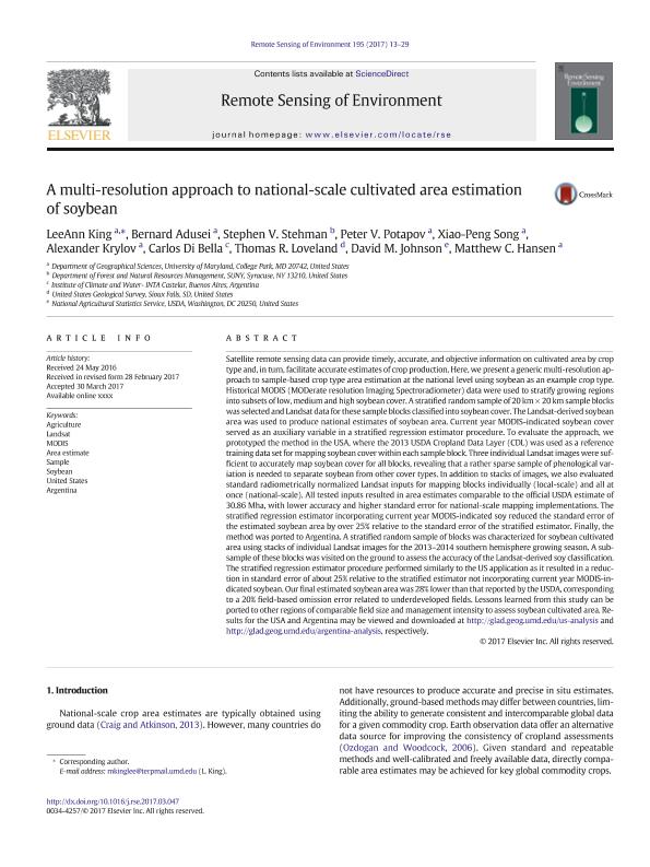
Satellite remote sensing data can provide timely, accurate, and objective information on cultivated area by crop type and, in turn, facilitate accurate estimates of crop production. Here, we present a generic multi-resolution approach to sample-based crop type area estimation at the national level using soybean as an example crop type. Historical MODIS (MODerate resolution Imaging Spectroradiometer) data were used to stratify growing regions into subsets of low, medium and high soybean cover. A stratified random sample of 20 km × 20 km sample blocks was selected and Landsat data for these sample blocks classified into soybean cover. The Landsat-derived soybean area was used to produce national estimates of soybean area. Current year MODIS-indicated soybean cover served as an auxiliary variable in a stratified regression estimator procedure. To evaluate the approach, we prototyped the method in the USA, where the 2013 USDA Cropland Data Layer (CDL) was used as a reference training data set for mapping soybean cover within each sample block. Three individual Landsat images were sufficient to accurately map soybean cover for all blocks, revealing that a rather sparse sample of phenological variation is needed to separate soybean from other cover types. In addition to stacks of images, we also evaluated standard radiometrically normalized Landsat inputs for mapping blocks individually (local-scale) and all at once (national-scale). All tested inputs resulted in area estimates comparable to the official USDA estimate of 30.86 Mha, with lower accuracy and higher standard error for national-scale mapping implementations. The stratified regression estimator incorporating current year MODIS-indicated soy reduced the standard error of the estimated soybean area by over 25% relative to the standard error of the stratified estimator. Finally, the method was ported to Argentina. A stratified random sample of blocks was characterized for soybean cultivated area using stacks of individual Landsat images for the 2013–2014 southern hemisphere growing season. A sub-sample of these blocks was visited on the ground to assess the accuracy of the Landsat-derived soy classification. The stratified regression estimator procedure performed similarly to the US application as it resulted in a reduction in standard error of about 25% relative to the stratified estimator not incorporating current year MODIS-indicated soybean. Our final estimated soybean area was 28% lower than that reported by the USDA, corresponding to a 20% field-based omission error related to underdeveloped fields. Lessons learned from this study can be ported to other regions of comparable field size and management intensity to assess soybean cultivated area. Results for the USA and Argentina may be viewed and downloaded at http://glad.geog.umd.edu/us-analysis and http://glad.geog.umd.edu/argentina-analysis, respectively.
dc.format
application/pdf
dc.language.iso
eng
dc.publisher
Elsevier Science Inc

dc.rights
info:eu-repo/semantics/openAccess
dc.rights.uri
https://creativecommons.org/licenses/by-nc-sa/2.5/ar/
dc.subject
Agriculture
dc.subject
Area Estimate
dc.subject
Argentina
dc.subject
Landsat
dc.subject
Modis
dc.subject
Sample
dc.subject
Soybean
dc.subject
United States
dc.subject.classification
Agricultura

dc.subject.classification
Agricultura, Silvicultura y Pesca

dc.subject.classification
CIENCIAS AGRÍCOLAS

dc.title
A multi-resolution approach to national-scale cultivated area estimation of soybean
dc.type
info:eu-repo/semantics/article
dc.type
info:ar-repo/semantics/artículo
dc.type
info:eu-repo/semantics/publishedVersion
dc.date.updated
2019-03-26T14:08:50Z
dc.journal.volume
195
dc.journal.pagination
13-29
dc.journal.pais
Estados Unidos

dc.description.fil
Fil: King, LeeAnn. University of Maryland; Estados Unidos
dc.description.fil
Fil: Adusei, Bernard. University of Maryland; Estados Unidos
dc.description.fil
Fil: Stehman, Stephen V.. State University of New York; Estados Unidos
dc.description.fil
Fil: Potapov, Peter V.. University of Maryland; Estados Unidos
dc.description.fil
Fil: Song, Xiao Peng. University of Maryland; Estados Unidos
dc.description.fil
Fil: Krylov, Alexander. University of Maryland; Estados Unidos
dc.description.fil
Fil: Di Bella, Carlos Marcelo. Consejo Nacional de Investigaciones Científicas y Técnicas; Argentina. Instituto Nacional de Tecnología Agropecuaria. Centro de Investigación de Recursos Naturales. Instituto de Clima y Agua; Argentina
dc.description.fil
Fil: Loveland, Thomas R.. United States Geological Survey; Estados Unidos
dc.description.fil
Fil: Johnson, David M.. United States Department of Agriculture. Agricultural Research Service; Argentina
dc.description.fil
Fil: Hansen, Matthew C.. University of Maryland; Estados Unidos
dc.journal.title
Remote Sensing of Environment

dc.relation.alternativeid
info:eu-repo/semantics/altIdentifier/doi/https://doi.org/10.1016/j.rse.2017.03.047
dc.relation.alternativeid
info:eu-repo/semantics/altIdentifier/url/https://www.sciencedirect.com/science/article/pii/S0034425717301505
Archivos asociados
