Artículo
GOCE satellite derived gravity and gravity gradient corrected for topographic effect in the South Central Andes region
Alvarez Pontoriero, Orlando ; Gimenez, Mario Ernesto
 ; Braitenberg, Carla; Folguera Telichevsky, Andres
 ; Gimenez, Mario Ernesto
 ; Braitenberg, Carla; Folguera Telichevsky, Andres
Fecha de publicación:
08/2012
Editorial:
Wiley Blackwell Publishing, Inc
Revista:
Geophysical Journal International
ISSN:
0956-540X
Idioma:
Inglés
Tipo de recurso:
Artículo publicado
Clasificación temática:
Resumen
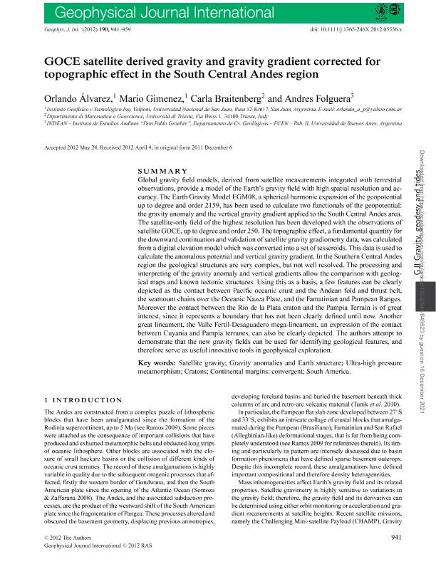
Global gravity field models, derived from satellite measurements integrated with terrestrial observations, provide a model of the Earth's gravity field with high spatial resolution and accuracy. The Earth Gravity Model EGM08, a spherical harmonic expansion of the geopotential up to degree and order 2159, has been used to calculate two functionals of the geopotential: the gravity anomaly and the vertical gravity gradient applied to the South Central Andes area. The satellite-only field of the highest resolution has been developed with the observations of satellite GOCE, up to degree and order 250. The topographic effect, a fundamental quantity for the downward continuation and validation of satellite gravity gradiometry data, was calculated from a digital elevation model which was converted into a set of tesseroids. This data is used to calculate the anomalous potential and vertical gravity gradient. In the Southern Central Andes region the geological structures are very complex, but not well resolved. The processing and interpreting of the gravity anomaly and vertical gradients allow the comparison with geological maps and known tectonic structures. Using this as a basis, a few features can be clearly depicted as the contact between Pacific oceanic crust and the Andean fold and thrust belt, the seamount chains over the Oceanic Nazca Plate, and the Famatinian and Pampean Ranges. Moreover the contact between the Rio de la Plata craton and the Pampia Terrain is of great interest, since it represents a boundary that has not been clearly defined until now. Another great lineament, the Valle Fertil-Desaguadero mega-lineament, an expression of the contact between Cuyania and Pampia terranes, can also be clearly depicted. The authors attempt to demonstrate that the new gravity fields can be used for identifying geological features, and therefore serve as useful innovative tools in geophysical exploration.
Archivos asociados
Licencia
Identificadores
Colecciones
Articulos(IDEAN)
Articulos de INSTITUTO DE ESTUDIOS ANDINOS "DON PABLO GROEBER"
Articulos de INSTITUTO DE ESTUDIOS ANDINOS "DON PABLO GROEBER"
Citación
Alvarez Pontoriero, Orlando; Gimenez, Mario Ernesto; Braitenberg, Carla; Folguera Telichevsky, Andres; GOCE satellite derived gravity and gravity gradient corrected for topographic effect in the South Central Andes region; Wiley Blackwell Publishing, Inc; Geophysical Journal International; 190; 2; 8-2012; 941-959
Compartir
Altmétricas


