Artículo
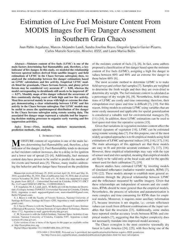
Estimation of live fuel moisture content from MODIS Images for fire danger assessment in southern Gran Chaco
Argañaraz, Juan Pablo ; Landi, Marcos Alejandro
 ; Bravo, Sandra Josefina; Gavier Pizarro, Gregorio; Scavuzzo, Carlos Marcelo; Bellis, Laura Marisa
 ; Landi, Marcos Alejandro
 ; Bravo, Sandra Josefina; Gavier Pizarro, Gregorio; Scavuzzo, Carlos Marcelo; Bellis, Laura Marisa
Fecha de publicación:
12/2016
Editorial:
Institute of Electrical and Electronics Engineers
Revista:
IEEE Journal of Selected Topics in Applied Earth Observations and Remote Sensing
ISSN:
1939-1404
Idioma:
Inglés
Tipo de recurso:
Artículo publicado
Clasificación temática:
Resumen
Moisture content of live fuels (LFMC) is one of the main factors determining fuel flammability and, therefore, a key indicator of fire danger. In this study, we modeled the relationship between spectral indices derived from satellite imagery and field estimations of LFMC in the Chaco Serrano subregion; then, we analyzed the relationship between fire danger estimations based on LFMC calculations and fire activity. Empirical LFMC models fitted for grasslands, Chaco Serrano forests, and glossy privet forests may be considered very accurate R2 > 0.80, whereas the model corresponding to shrublands still needs to be improved (R2 = 0.57). Monthly maps of fire danger reflected the occurrence of fires consistently during years of both high and low fire activity. Most fires occurred mainly in areas with high or extreme fire danger, demonstrating a clear relationship between LFMC and fire activity in the Chaco Serrano subregion. Our LFMC models may be useful to assess the spatiotemporal distribution of fire danger in the Chaco Serrano subregion using remote sensing data. The associated fire danger maps represent a valuable tool for improving decision making processes to organize early warning and fire suppression activities.
Palabras clave:
Fires
,
Modeling
,
Moisture Measurement
,
Prediction Methods
,
Risk Analysis
Archivos asociados
Licencia
Identificadores
Colecciones
Articulos(IDEA)
Articulos de INSTITUTO DE DIVERSIDAD Y ECOLOGIA ANIMAL
Articulos de INSTITUTO DE DIVERSIDAD Y ECOLOGIA ANIMAL
Citación
Argañaraz, Juan Pablo; Landi, Marcos Alejandro; Bravo, Sandra Josefina; Gavier Pizarro, Gregorio; Scavuzzo, Carlos Marcelo; et al.; Estimation of live fuel moisture content from MODIS Images for fire danger assessment in southern Gran Chaco; Institute of Electrical and Electronics Engineers; IEEE Journal of Selected Topics in Applied Earth Observations and Remote Sensing; 9; 12; 12-2016; 5339-5349
Compartir
Altmétricas


