Mostrar el registro sencillo del ítem
dc.contributor.author
Redolfi, Javier Andrés

dc.contributor.author
Sanchez, Jorge Adrian

dc.contributor.author
Flesia, Ana Georgina

dc.date.available
2018-09-17T20:53:30Z
dc.date.issued
2017-11
dc.identifier.citation
Redolfi, Javier Andrés; Sanchez, Jorge Adrian; Flesia, Ana Georgina; Fisher Vectors for PolSAR Image Classification; Institute of Electrical and Electronics Engineers; Ieee Geoscience and Remote Sensing Letters; 14; 11; 11-2017; 2057-2061
dc.identifier.issn
1545-598X
dc.identifier.uri
http://hdl.handle.net/11336/59999
dc.description.abstract
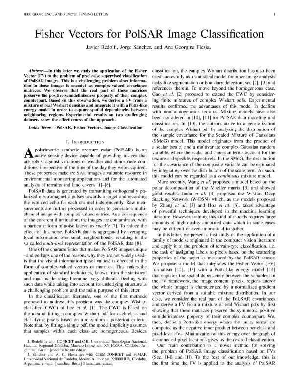
In this letter, we study the application of the Fisher vector (FV) to the problem of pixelwise supervised classification of polarimetric synthetic aperture radar images. This is a challenging problem since information in those images is encoded as complex-valued covariance matrices. We observe that the real parts of these matrices preserve the positive semidefiniteness property of their complex counterpart. Based on this observation, we derive an FV from a mixture of real Wishart densities and integrate it with a Potts-like energy model in order to capture spatial dependencies between neighboring regions. Experimental results on two challenging data sets show the effectiveness of the approach.
dc.format
application/pdf
dc.language.iso
eng
dc.publisher
Institute of Electrical and Electronics Engineers

dc.rights
info:eu-repo/semantics/openAccess
dc.rights.uri
https://creativecommons.org/licenses/by-nc-sa/2.5/ar/
dc.subject
FISHER VECTORS (FVS)
dc.subject
IMAGE CLASSIFICATION
dc.subject
POLARIMETRIC SYNTHETIC APERTURE RADAR (POLSAR)
dc.subject.classification
Ciencias de la Computación

dc.subject.classification
Ciencias de la Computación e Información

dc.subject.classification
CIENCIAS NATURALES Y EXACTAS

dc.title
Fisher Vectors for PolSAR Image Classification
dc.type
info:eu-repo/semantics/article
dc.type
info:ar-repo/semantics/artículo
dc.type
info:eu-repo/semantics/publishedVersion
dc.date.updated
2018-09-17T19:38:18Z
dc.journal.volume
14
dc.journal.number
11
dc.journal.pagination
2057-2061
dc.journal.pais
Estados Unidos

dc.journal.ciudad
Nueva York
dc.description.fil
Fil: Redolfi, Javier Andrés. Universidad Tecnológica Nacional. Facultad Regional Córdoba. Centro de Investigación en Informática para la Ingeniería; Argentina. Consejo Nacional de Investigaciones Científicas y Técnicas; Argentina
dc.description.fil
Fil: Sanchez, Jorge Adrian. Consejo Nacional de Investigaciones Científicas y Técnicas. Centro Científico Tecnológico Conicet - Córdoba. Centro de Investigación y Estudios de Matemática. Universidad Nacional de Córdoba. Centro de Investigación y Estudios de Matemática; Argentina. Universidad Nacional de Córdoba. Facultad de Matemática, Astronomía y Física; Argentina
dc.description.fil
Fil: Flesia, Ana Georgina. Universidad Nacional de Córdoba. Facultad de Matemática, Astronomía y Física; Argentina. Consejo Nacional de Investigaciones Científicas y Técnicas. Centro Científico Tecnológico Conicet - Córdoba. Centro de Investigación y Estudios de Matemática. Universidad Nacional de Córdoba. Centro de Investigación y Estudios de Matemática; Argentina
dc.journal.title
Ieee Geoscience and Remote Sensing Letters

dc.relation.alternativeid
info:eu-repo/semantics/altIdentifier/url/http://ieeexplore.ieee.org/document/8052593/
dc.relation.alternativeid
info:eu-repo/semantics/altIdentifier/doi/https://doi.org/10.1109/LGRS.2017.2750800
Archivos asociados
