Artículo
3D GIS-based visualisation of geological, hydrogeological, hydrogeochemical and geothermal models
Fecha de publicación:
12/2016
Editorial:
E Schweizerbartsche Verlags
Revista:
Zeitschrift Der Deutschen Gesellschaft Fur Geowissenschaften
ISSN:
1860-1804
Idioma:
Inglés
Tipo de recurso:
Artículo publicado
Clasificación temática:
Resumen
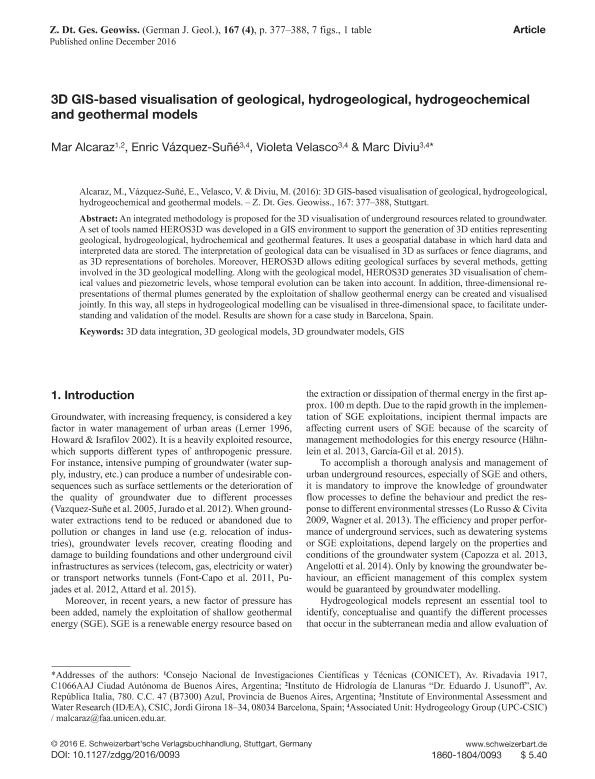
An integrated methodology is proposed for the 3D visualisation of underground resources related to groundwater. A set of tools named HEROS3D was developed in a GIS environment to support the generation of 3D entities representing geological, hydrogeological, hydrochemical and geothermal features. It uses a geospatial database in which hard data and interpreted data are stored. The interpretation of geological data can be visualised in 3D as surfaces or fence diagrams, and as 3D representations of boreholes. Moreover, HEROS3D allows editing geological surfaces by several methods, getting involved in the 3D geological modelling. Along with the geological model, HEROS3D generates 3D visualisation of chemical values and piezometric levels, whose temporal evolution can be taken into account. In addition, three-dimensional representations of thermal plumes generated by the exploitation of shallow geothermal energy can be created and visualised jointly. In this way, all steps in hydrogeological modelling can be visualised in three-dimensional space, to facilitate understanding and validation of the model. Results are shown for a case study in Barcelona, Spain.
Palabras clave:
3d Data Integration
,
3d Geological Models
,
3d Groundwater Models
,
Gis
Archivos asociados
Licencia
Identificadores
Colecciones
Articulos(CCT - TANDIL)
Articulos de CTRO CIENTIFICO TECNOLOGICO CONICET - TANDIL
Articulos de CTRO CIENTIFICO TECNOLOGICO CONICET - TANDIL
Citación
Alcaraz, María Alejandra; Vazquez Suñe, Enric; Velasco, Violeta; Diviu, Marc; 3D GIS-based visualisation of geological, hydrogeological, hydrogeochemical and geothermal models; E Schweizerbartsche Verlags; Zeitschrift Der Deutschen Gesellschaft Fur Geowissenschaften; 167; 4; 12-2016; 377-388
Compartir
Altmétricas


