Artículo
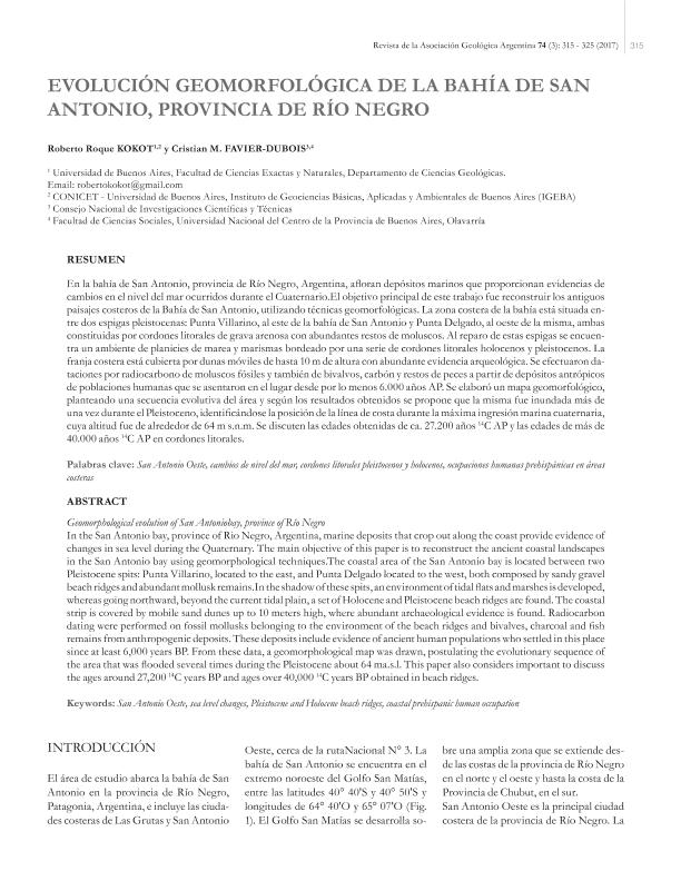
En la bahía de San Antonio, provincia de Río Negro, afloran depósitos marinos que proporcionan evidencias de cambios en el nivel del mar ocurridos durante el Cuaternario. La zona costera de la Bahía de San Antonio está situada entre dos espigas pleistocenas: Punta Villarino, que se encuentra al este de la bahía de San Antonio y Punta Delgado ubicada hacia el oeste de la misma, ambas constituidas por cordones litorales de grava arenosa con abundantes restos de moluscos. Al reparo de estas espigas se encuentra un ambiente de planicies de marea y marismas y hacia el norte, más allá de la actual planicie de mareas se encuentra una serie de cordones litorales holocenos y pleistocenos. La franja costera está cubierta por dunas móviles de hasta 10 m de altura, donde puede hallarse abundante evidencia arqueológica. Se efectuaron dataciones por radiocarbono de moluscos fósiles perteneciente al ambiente de los cordones litorales y también de bivalvos, carbón y restos de peces a partir de depósitos antrópicos. Estos depósitos incluyen evidencias de antiguas poblaciones humanas que se asentaron en el lugar desde por lo menos 6000 años AP.El área fue inundada varias veces durante el Pleistoceno, identificándose la posición de la línea de costa durante la máxima ingresión marina cuaternaria, cuya altitud fue de alrededor de 64 m sobre el nivel del mar. En este trabajo se considera importante la discusión de las edades obtenidas de alrededor de 27.200 años 14C AP y las edades de más de 40.000 años 14C AP. In the San Antonio bay, province of Rio Negro, Argentina, marine deposits that crop out along the coast provide evidence of changes in sea level during the Quaternary. The main objective of this paper is to reconstruct the ancient coastal landscapes in the San Antonio bay using geomorphological techniques.The coastal area of the San Antonio bay is located between two Pleistocene spits: Punta Villarino, located to the east, and Punta Delgado located to the west, both composed by sandy gravel beach ridges and abundant mollusk remains.In the shadow of these spits, an environment of tidal flats and marshes is developed, whereas going northward, beyond the current tidal plain, a set of Holocene and Pleistocene beach ridges are found. The coastal strip is covered by mobile sand dunes up to 10 meters high, where abundant archaeological evidence is found. Radiocarbon dating were performed on fossil mollusks belonging to the environment of the beach ridges and bivalves, charcoal and fish remains from anthropogenic deposits. These deposits include evidence of ancient human populations who settled in this place since at least 6,000 years BP. From these data, a geomorphological map was drawn, postulating the evolutionary sequence of the area that was flooded several times during the Pleistocene about 64 ma.s.l. This paper also considers important to discuss the ages around 27,200 14C years BP and ages over 40,000 14C years BP obtained in beach ridges.
Evolución geomorfológica de la bahía de San Antonio, provincia de Río Negro
Título:
Geomorphological evolution of San Antoniobay, province of Río Negro
Fecha de publicación:
12/2017
Editorial:
Asociación Geológica Argentina
Revista:
Revista de la Asociación Geológica Argentina
ISSN:
1851-8249
e-ISSN:
0004-4822
Idioma:
Español
Tipo de recurso:
Artículo publicado
Clasificación temática:
Resumen
Archivos asociados
Licencia
Identificadores
Colecciones
Articulos(IGEBA)
Articulos de INSTITUTO DE GEOCIENCIAS BASICAS, APLICADAS Y AMBIENTALES DE BS. AS
Articulos de INSTITUTO DE GEOCIENCIAS BASICAS, APLICADAS Y AMBIENTALES DE BS. AS
Articulos(INCUAPA)
Articulos de INVESTIGACIONES ARQUEOLOGICAS Y PALEONTOLOGICAS DEL CUATERNARIO PAMPEANO
Articulos de INVESTIGACIONES ARQUEOLOGICAS Y PALEONTOLOGICAS DEL CUATERNARIO PAMPEANO
Citación
Kokot, Roberto Roque; Favier Dubois, Cristian Mario; Evolución geomorfológica de la bahía de San Antonio, provincia de Río Negro; Asociación Geológica Argentina; Revista de la Asociación Geológica Argentina; 74; 3; 12-2017; 315-325
Compartir


