Mostrar el registro sencillo del ítem
dc.contributor.author
Liang, Xiaofeng
dc.contributor.author
Sandvol, Eric
dc.contributor.author
Kay, Suzanne
dc.contributor.author
Heit, Benjamin
dc.contributor.author
Yuan, Xiaohui
dc.contributor.author
Mulcahy, Patrick
dc.contributor.author
Chen, Chen
dc.contributor.author
Brown, Larry
dc.contributor.author
Comte, Diana
dc.contributor.author
Alvarado, Patricia Monica

dc.date.available
2016-04-01T22:08:53Z
dc.date.issued
2014-01
dc.identifier.citation
Liang, Xiaofeng; Sandvol, Eric; Kay, Suzanne; Heit, Benjamin; Yuan, Xiaohui; et al.; Delamination of southern Puna lithosphere revealed by body wave attenuation tomography; American Geophysical Union; Journal Of Geophysical Research; 119; 1; 1-2014; 549-566
dc.identifier.issn
0148-0227
dc.identifier.uri
http://hdl.handle.net/11336/5005
dc.description.abstract
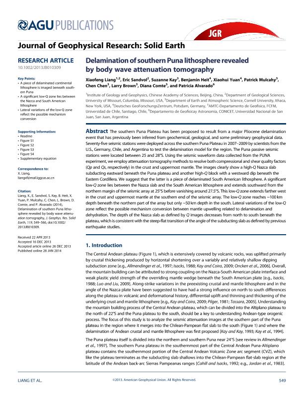
The southern Puna Plateau has been proposed to result from a major Pliocene delamination event that has previously been inferred from geochemical, geological, and some preliminary geophysical data. Seventy-five seismic stations were deployed across the southern Puna Plateau in 2007?2009 by scientists fromthe U.S., Germany, Chile, and Argentina to test the delamination model for the region. The Puna passive seismic stations were located between 25 and 28°S. Using the seismic waveform data collected from the PUNA experiment,we employ attenuation tomography methods to resolve both compressional and shear quality factors (Qp and Qs, respectively) in the crust and uppermost mantle. The images clearly show a high-Q Nazca slab subducting eastward beneath the Puna plateau and another high-Q block with a westward dip beneath the Eastern Cordillera. We suggest that the latter is a piece of delaminated South American lithosphere. A significant low-Q zone lies between the Nazca slab and the South American lithosphere and extends southward from the northernmargin of the seismic array at 25°S before vanishing around 27.5°S. This low-Q zone extends farther west in the crust and uppermost mantle at the southern end of the seismic array. The low-Q zone reaches ~100 km depth beneath the northern part of the array but only ~50 km depth in the south. Lateral variations of the low-Q zone reflect the possible mechanism conversion between mantle upwelling related to delamination and dehydration. The depth of the Nazca slab as defined by Q images decreases from north to south beneath the plateau, which is consistentwith the steep-flat transition of the angle of the subducting slab as defined by previous earthquake studies.
dc.format
application/pdf
dc.language.iso
eng
dc.publisher
American Geophysical Union

dc.rights
info:eu-repo/semantics/openAccess
dc.rights.uri
https://creativecommons.org/licenses/by-nc-sa/2.5/ar/
dc.subject
Tomography
dc.subject
Crustal
dc.subject
Broadband
dc.subject
Puna
dc.subject
Earthquakes
dc.subject
Seismicity
dc.subject
Seismology
dc.subject.classification
Geociencias multidisciplinaria

dc.subject.classification
Ciencias de la Tierra y relacionadas con el Medio Ambiente

dc.subject.classification
CIENCIAS NATURALES Y EXACTAS

dc.title
Delamination of southern Puna lithosphere revealed by body wave attenuation tomography
dc.type
info:eu-repo/semantics/article
dc.type
info:ar-repo/semantics/artículo
dc.type
info:eu-repo/semantics/publishedVersion
dc.date.updated
2016-05-06 15:52:43.262787-03
dc.journal.volume
119
dc.journal.number
1
dc.journal.pagination
549-566
dc.journal.pais
Estados Unidos

dc.description.fil
Fil: Liang, Xiaofeng. Chinese Academy of Sciences. Institute of Geology and Geophysics; China. University of Missouri. Department of Geological Sciences; Estados Unidos
dc.description.fil
Fil: Sandvol, Eric. University of Missouri. Department of Geological Sciences; Estados Unidos
dc.description.fil
Fil: Kay, Suzanne. Cornell University. Department of Earth and Atmospheric Science; Estados Unidos
dc.description.fil
Fil: Heit, Benjamin. Deutsches GeoForschungsZentrum; Alemania
dc.description.fil
Fil: Yuan, Xiaohui. Deutsches GeoForschungsZentrum; Alemania
dc.description.fil
Fil: Mulcahy, Patrick. Cornell University. Department of Earth and Atmospheric Science; Estados Unidos
dc.description.fil
Fil: Chen, Chen. Cornell University. Department of Earth and Atmospheric Science; Estados Unidos
dc.description.fil
Fil: Brown, Larry. Cornell University. Department of Earth and Atmospheric Science; Estados Unidos
dc.description.fil
Fil: Comte, Diana. Universidad de Chile. Facultad de Ciencias Físicas y Matemáticas. Departamento de Geofísica; Chile
dc.description.fil
Fil: Alvarado, Patricia Monica. Consejo Nacional de Investigaciones Científicas y Técnicas. Centro Científico Tecnológico San Juan. Centro de Investigaciones de la Geosfera y Biosfera; Argentina
dc.journal.title
Journal Of Geophysical Research

dc.relation.alternativeid
info:eu-repo/semantics/altIdentifier/doi/10.1002/ 2013JB010309
dc.relation.alternativeid
info:eu-repo/semantics/altIdentifier/url/http://onlinelibrary.wiley.com/wol1/doi/10.1002/2013JB010309/abstract
dc.relation.alternativeid
info:eu-repo/semantics/altIdentifier/doi/http://dx.doi.org/10.1002/ 2013JB010309
Archivos asociados
