Artículo
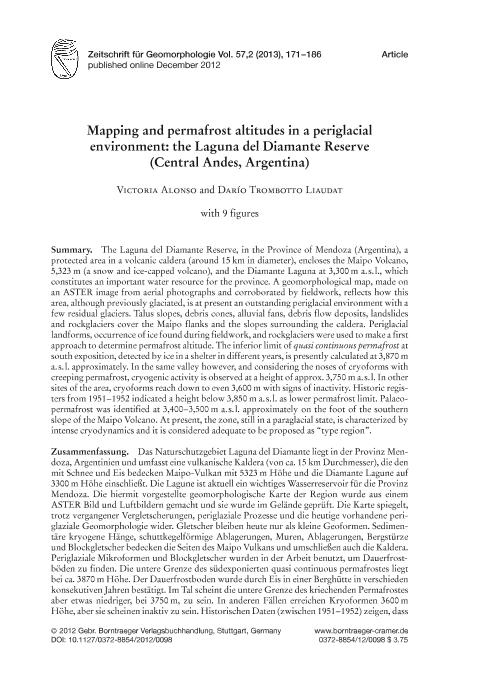
The Laguna del Diamante Reserve, in the Province of Mendoza (Argentina), a protected area in a volcanic caldera (around 15 km in diameter), encloses the Maipo Volcano, 5,323 m (a snow and ice-capped volcano), and the Diamante Laguna at 3,300 m a. s. l., which constitutes an important water resource for the province. A geomorphological map, made on an ASTER image from aerial photographs and corroborated by fieldwork, reflects how this area, although previously glaciated, is at present an outstanding periglacial environment with a few residual glaciers. Talus slopes, debris cones, alluvial fans, debris flow deposits, landslides and rockglaciers cover the Maipo flanks and the slopes surrounding the caldera. Periglacial landforms, occurrence of ice found during fieldwork, and rockglaciers were used to make a first approach to determine permafrost altitude. The inferior limit of quasi continuous permafrost at south exposition, detected by ice in a shelter in different years, is presently calculated at 3,870 ma. s. l. approximately. In the same valley however, and considering the noses of cryoforms with creeping permafrost, cryogenic activity is observed at a height of approx. 3,750 m a. s. l. In other sites of the area, cryoforms reach down to even 3,600 m with signs of inactivity. Historic registers from 1951–1952 indicated a height below 3,850 m a. s. l. as lower permafrost limit. Palaeo - permafrost was identified at 3,400–3,500 m a. s. l. approximately on the foot of the southern slope of the Maipo Volcano. At present, the zone, still in a paraglacial state, is characterized by intense cryodynamics and it is considered adequate to be proposed as “type region”. Das Naturschutzgebiet Laguna del Diamante liegt in der Provinz Mendoza, Argentinien und umfasst eine vulkanische Kaldera (von ca. 15 km Durchmesser), die den mit Schnee und Eis bedecken Maipo-Vulkan mit 5323 m Höhe und die Diamante Lagune auf 3300 m Höhe einschließt. Die Lagune ist aktuell ein wichtiges Wasserreservoir für die Provinz Mendoza. Die hiermit vorgestellte geomorphologische Karte der Region wurde aus einem ASTER Bild und Luftbildern gemacht und sie wurde im Gelände geprüft. Die Karte spiegelt, trotz vergangener Vergletscherungen, periglaziale Prozesse und die heutige vorhandene peri glaziale Geomorphologie wider. Gletscher bleiben heute nur als kleine Geoformen. Sedimentäre kryogene Hänge, schuttkegelförmige Ablagerungen, Muren, Ablagerungen, Bergstürze und Blockgletscher bedecken die Seiten des Maipo Vulkans und umschließen auch die Kaldera. Periglaziale Mikroformen und Blockgletscher wurden in der Arbeit benutzt, um Dauerfros böden zu finden. Die untere Grenze des südexponierten quasi continuous permafrostes liegt bei ca. 3870 m Höhe. Der Dauerfrostboden wurde durch Eis in einer Berghütte in verschieden konsekutiven Jahren bestätigt. Im Tal scheint die untere Grenze des kriechenden Permafrostes aber etwas niedriger, bei 3750 m, zu sein. In anderen Fällen erreichen Kryoformen 3600 m. Höhe, aber sie scheinen inaktiv zu sein. Historischen Daten (zwischen 1951–1952) zeigen, dass die untere Grenze des Permafrostes bei 3850 m lag. Paleopermafrost wurde auch in der Region identifiziert. Bei einer Höhe von 3400–3500 m, am Fuß des Maipo Vulkans sind Beispiele zusehen. Heute wird die Region der Laguna del Diamante als paraglaziale Region bezeichnet. Sieist eine typische Region, wo sich kryodynamische Prozesse untersuchen und zeigen lassen.
Mapping and permafrost altitudes in a periglacial environment: The Laguna del Diamante Reserve (Central Andes, Argentina)
Fecha de publicación:
06/2013
Editorial:
Gebruder Borntraeger
Revista:
Zeitschrift Fur Geomorphologie
ISSN:
0372-8854
Idioma:
Inglés
Tipo de recurso:
Artículo publicado
Clasificación temática:
Resumen
Archivos asociados
Licencia
Identificadores
Colecciones
Articulos(IANIGLA)
Articulos de INST. ARG. DE NIVOLOGIA, GLACIOLOGIA Y CS. AMBIENT
Articulos de INST. ARG. DE NIVOLOGIA, GLACIOLOGIA Y CS. AMBIENT
Citación
Alonso, Victoria; Trombotto, Dario Tomas; Mapping and permafrost altitudes in a periglacial environment: The Laguna del Diamante Reserve (Central Andes, Argentina); Gebruder Borntraeger; Zeitschrift Fur Geomorphologie; 57; 2; 6-2013; 171-186
Compartir
Altmétricas


