Artículo
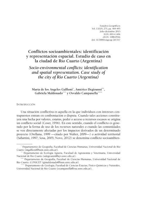
En la ciudad de Río Cuarto (provincia de Córdoba, Argentina) se advierte en la actualidad que el proceso de expansión urbana genera, por un lado, la inclusión de usos de suelo que con anterioridad se localizaban en la periferia, y por otro, el encuentro con actividades vinculadas al ámbito periurbano o rural (agrícola, industrial, comercial) que confrontan con aquellas del ámbito urbano, aumentando de esta manera el campo de conflictos socio ambientales. Esta situación, obliga al ámbito científico a generar conocimientos que sirvan para la toma de decisiones por parte del Estado, que debe conciliar intereses contrapuestos y asegurar un desarrollo sostenible. Por tratarse de conflictos con una fuerte implicancia territorial, el abordaje de los mismos se hace a partir de una cartografía actualizada y acorde a los objetivos propuestos. El objetivo del presente artículo es elaborar una sistematización, caracterización y posterior cartografía de conflictividad socio ambiental de la ciudad de Río Cuarto en un entorno SIG. Para vincularla luego con el proceso de expansión del medio construido urbano. The city of Rio Cuarto (Cordoba Province, Argentina) currently provides clear indications that the process of urban sprawl generates, on one hand, uses of land that were previously located in the periphery, and secondly, collisions with the activities of suburban or rural areas (agricultural, industrial, commercial) which find themselves coming up against the activities of urban areas, thus expanding the field of socio-environmental conflict. Such a situation obliges scholars to generate knowledge for use in the making of decisions by the State, whose task it is to reconcile conflicting interests and ensure sustainable development. Given that such conflicts haveclear territorial implications, all attempts to address them must be based on up-to-date mapping projects and be consistent with perceived objectives. The aim of this paper is thus to carry out systematic characterization and mapping of environmental social unrest in the city of Rio Cuarto in a GIS environment. The paper then links such unrest with expansion of the built-up urban environment. In the city of Rio Cuarto (Cordoba Province, Argentina) today warns that the process of urban sprawl generates, on one hand, the inclusion of land uses that previously were located in the periphery, and secondly, the encounter with activities related to suburban or rural area (agricultural, industrial, commercial) faced with those from urban areas, thus increasing the field of socio-environmental conflicts. This situation forces the scientific field to generate knowledge for use in the making of decisions by the State that is who must reconcile conflicting interests and ensure sustainable development. Because it conflicts with a strong territorial implications, addressing them is a mapping from updated and consistent with the objectives. The aim of this paper is to develop a systematic, characterization and subsequent mapping of environmental social unrest in the city of Rio Cuarto in a GIS environment. To link it then with the expansion of the urban built environment. Dans la ville de Río Cuarto (province de Cordoba, Argentine) on apprécie aujourd’hui que le processus d’expansion urbaine donne lieu, d’une part, à des usages du sol qui étaient auparavant localisés dans la périphérie et, d’autre part, à un choc entre les activités liées à la zone suburbaine ou rurale (agricoles, industrielles, commerciales) et celles des zones urbaines, ce qui augmente le champ de conflits socio-environnementaux. Cette situation oblige les disciplines scientifiques à produire des connaissances servant à la prise de décisions de la part de l’État qui doivent concilier des intérêts contradictoires et assurer un développement durable. Étant donné qu’il s’agit de conflits avec de fortes implications territoriales il faut les aborder à partir d’une cartographie mise à jour et conforme aux objectifs envisagés. Le but de cet article est de développer une systématisation, une caractérisation et une postérieure cartographie des conflits socio-environnementaux dans la ville de Río Cuarto dans un entourage SIG. Cela doit être par la suite mis en relation avec l’expansion du milieu urbain construit.
Conflictos socioambientales: identificación y representación espacial. Estudio de caso en la ciudad de Río Cuarto (Argentina)
Título:
Socio-environmental conflicts: identification and spatial representation. Case study of the city of Rio Cuarto (Argentina)
Fecha de publicación:
12/2013
Editorial:
Consejo Superior de Investigaciones Científicas
Revista:
Estudios Geográficos
ISSN:
0014-1496
e-ISSN:
1988-8546
Idioma:
Español
Tipo de recurso:
Artículo publicado
Clasificación temática:
Resumen
Archivos asociados
Licencia
Identificadores
Colecciones
Articulos(CCT - CORDOBA)
Articulos de CTRO.CIENTIFICO TECNOL.CONICET - CORDOBA
Articulos de CTRO.CIENTIFICO TECNOL.CONICET - CORDOBA
Citación
Galfioni, Maria de Los Angeles; Degioanni, Americo; Maldonado, Gabriela Ines; Campanella, Osvaldo; Conflictos socioambientales: identificación y representación espacial. Estudio de caso en la ciudad de Río Cuarto (Argentina); Consejo Superior de Investigaciones Científicas; Estudios Geográficos; LXXIV; 275; 12-2013; 469-493
Compartir
Altmétricas


