Artículo
Introducing a new floodplain scheme in ORCHIDEE (version 7885): validation and evaluation over the Pantanal wetlands
Fecha de publicación:
10/2023
Editorial:
Copernicus Publications
Revista:
Geoscientific Model Development
ISSN:
1991-9603
Idioma:
Inglés
Tipo de recurso:
Artículo publicado
Clasificación temática:
Resumen
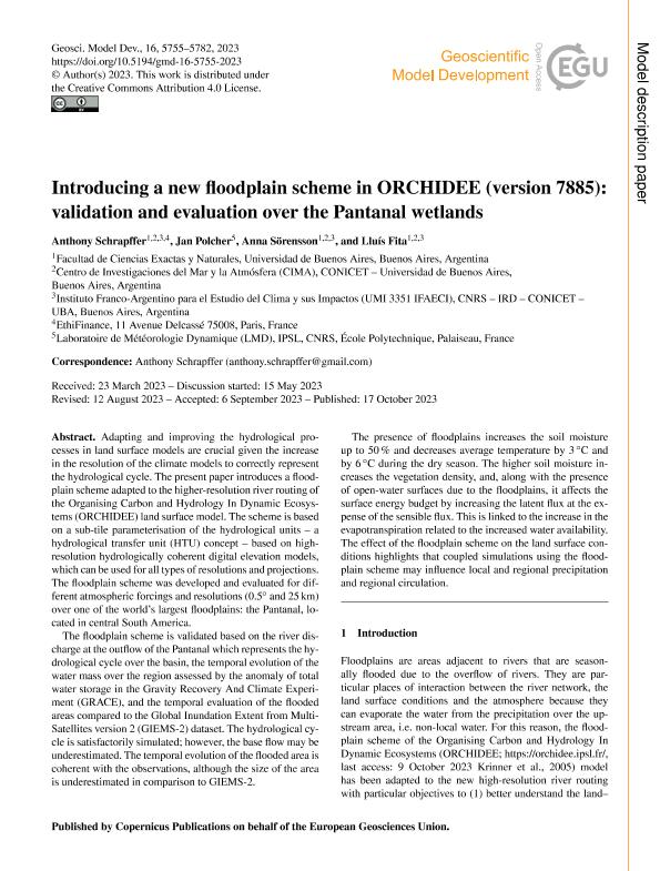
Adapting and improving the hydrological processes in land surface models are crucial given the increase in the resolution of the climate models to correctly represent the hydrological cycle. The present paper introduces a floodplain scheme adapted to the higher-resolution river routing of the Organising Carbon and Hydrology In Dynamic Ecosystems (ORCHIDEE) land surface model. The scheme is based on a sub-tile parameterisation of the hydrological units - a hydrological transfer unit (HTU) concept - based on high-resolution hydrologically coherent digital elevation models, which can be used for all types of resolutions and projections. The floodplain scheme was developed and evaluated for different atmospheric forcings and resolutions (0.5°and 25 km) over one of the world's largest floodplains: the Pantanal, located in central South America. The floodplain scheme is validated based on the river discharge at the outflow of the Pantanal which represents the hydrological cycle over the basin, the temporal evolution of the water mass over the region assessed by the anomaly of total water storage in the Gravity Recovery And Climate Experiment (GRACE), and the temporal evaluation of the flooded areas compared to the Global Inundation Extent from Multi-Satellites version 2 (GIEMS-2) dataset. The hydrological cycle is satisfactorily simulated; however, the base flow may be underestimated. The temporal evolution of the flooded area is coherent with the observations, although the size of the area is underestimated in comparison to GIEMS-2. The presence of floodplains increases the soil moisture up to 50 % and decreases average temperature by 3 °C and by 6 °C during the dry season. The higher soil moisture increases the vegetation density, and, along with the presence of open-water surfaces due to the floodplains, it affects the surface energy budget by increasing the latent flux at the expense of the sensible flux. This is linked to the increase in the evapotranspiration related to the increased water availability. The effect of the floodplain scheme on the land surface conditions highlights that coupled simulations using the floodplain scheme may influence local and regional precipitation and regional circulation.
Palabras clave:
Hidrología
,
Planícies de inundación
,
Modelización
Archivos asociados
Licencia
Identificadores
Colecciones
Articulos(CIMA)
Articulos de CENTRO DE INVESTIGACIONES DEL MAR Y LA ATMOSFERA
Articulos de CENTRO DE INVESTIGACIONES DEL MAR Y LA ATMOSFERA
Citación
Schrapffer, Anthony; Polcher, Jan; Sörensson, Anna; Fita Borrell, Lluís; Introducing a new floodplain scheme in ORCHIDEE (version 7885): validation and evaluation over the Pantanal wetlands; Copernicus Publications; Geoscientific Model Development; 16; 20; 10-2023; 5755-5782
Compartir
Altmétricas


