Mostrar el registro sencillo del ítem
dc.contributor.author
Bilmes, Andrés

dc.contributor.author
D'Elia, Leandro

dc.contributor.author
López, Luciano

dc.contributor.author
Varela, Augusto Nicolás

dc.contributor.author
Alvarez, Maria del Pilar

dc.contributor.author
Eymard, Inés
dc.contributor.author
Ariztegui, Daniel

dc.contributor.author
Franzese, Juan Rafael

dc.date.available
2024-01-26T09:41:31Z
dc.date.issued
2017
dc.identifier.citation
Digital outcrop modeling using "Structure-from- Motion" photogrammetry: applications to analyze Neogene-Quaternary environmental signals preserved in the Andean Foreland, Argentina; 33rd International Meeting of Sedimentology and 16ème Congrès Français de Sèdimentologie; Toulouse; Francia; 2017; 102-102
dc.identifier.uri
http://hdl.handle.net/11336/224931
dc.description.abstract
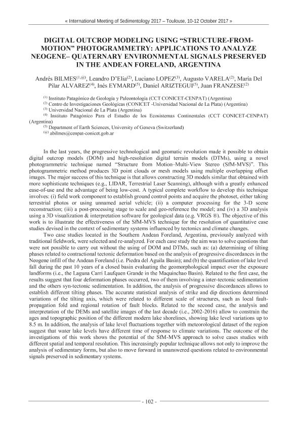
In the last years, the progressive technological and geomatic revolution made it possible to obtaindigital outcrop models (DOM) and high-resolution digital terrain models (DTMs), using a novel photogrammetric technique named "Structure from Motion-Multi-View Stereo (SfM-MVS)". This photogrammetric method produces 3D point clouds or mesh models using multiple overlapping offset images. The major success of this technique is that allows constructing 3D models similar that obtained with more sophisticate techniques (e.g., LIDAR, Terrestrial Laser Scanning), although with a greatly enhanced ease-of-use and the advantage of being low-cost. A typical complete workflow to develop this technique involves: (i) field work component to establish ground control points and acquire the photoset, either taking terrestrial photos or using unnamed aerial vehicle; (ii) a computer processing for the 3-D scene reconstruction; (iii) a post-processing stage to scale and geo-reference the model; and (iv) a 3D analysis using a 3D visualization & interpretation software for geological data (e.g. VRGS ®). The objective of this work is to illustrate the effectiveness of the SfM-MVS technique for the resolution of quantitative case studies devised in the context of sedimentary systems influenced by tectonics and climate changes. Two case studies located in the Southern Andean Foreland, Argentina, previously analyzed withtraditional fieldwork, were selected and re-analyzed. For each case study the aim was to solve questions thatwere not possible to carry out without the using of DOM and DTMs, such as: (a) determining of tilting phases related to contractional tectonic deformation based on the analysis of progressive discordances in the Neogene infill of the Andean Foreland (i.e. Piedra del Aguila Basin); and (b) the quantification of lake levelfall during the past 10 years of a closed basin evaluating the geomorphological impact over the exposure landforms (i.e., the Laguna Carri Laufquen Grande in the Maquinchao Basin). Related to the first case, the results suggest that four deformation phases occurred, two of them involving a inter-tectonic sedimentation and the others syn-tectonic sedimentation. In addition, the analysis of progressive discordances allows to establish different tilting phases. The accurate statistical analysis of strike and dip directions determined variations of the tilting axis, which were related to different scale of structures, such as local fault propagation fold and regional rotation of fault blocks. Related to the second case, the analysis and interpretation of the DEMs and satellite images of the last decade (i.e., 2002-2016) allow to constrain the ages and topographic position of the different modern lake shorelines, showing lake level variations up to 8.5 m. In addition, the analysis of lake level fluctuations together with meteorological dataset of the regionsuggest that water lake levels have different time of response to climate variations. The outcome of the investigations of this work shows the potential of the SfM-MVS approach to solve cases studies with different spatial and temporal resolution. This increasingly popular technique allows not only to improve theanalysis of sedimentary forms, but also to move forward in unanswered questions related to environmental signals preserved in sedimentary systems.
dc.format
application/pdf
dc.language.iso
eng
dc.publisher
International Association of Sedimentologists
dc.rights
info:eu-repo/semantics/openAccess
dc.rights.uri
https://creativecommons.org/licenses/by-nc-sa/2.5/ar/
dc.subject
Photogrammetry
dc.subject
Progradation/accretion measurements
dc.subject
Lake shorelines-growth strata
dc.subject
Digital Outcrops model (DOM)
dc.subject.classification
Geología

dc.subject.classification
Ciencias de la Tierra y relacionadas con el Medio Ambiente

dc.subject.classification
CIENCIAS NATURALES Y EXACTAS

dc.title
Digital outcrop modeling using "Structure-from- Motion" photogrammetry: applications to analyze Neogene-Quaternary environmental signals preserved in the Andean Foreland, Argentina
dc.type
info:eu-repo/semantics/publishedVersion
dc.type
info:eu-repo/semantics/conferenceObject
dc.type
info:ar-repo/semantics/documento de conferencia
dc.date.updated
2023-12-26T14:38:20Z
dc.journal.pagination
102-102
dc.journal.pais
Francia

dc.journal.ciudad
Toulouse
dc.description.fil
Fil: Bilmes, Andrés. Consejo Nacional de Investigaciones Científicas y Técnicas. Centro Científico Tecnológico Conicet - Centro Nacional Patagónico. Instituto Patagónico de Geología y Paleontología; Argentina
dc.description.fil
Fil: D'Elia, Leandro. Consejo Nacional de Investigaciones Científicas y Técnicas. Centro Científico Tecnológico Conicet - La Plata. Centro de Investigaciones Geológicas. Universidad Nacional de La Plata. Facultad de Ciencias Naturales y Museo. Centro de Investigaciones Geológicas; Argentina
dc.description.fil
Fil: López, Luciano. Universidad Nacional de La Plata. Facultad de Ciencias Naturales y Museo. Instituto de Recursos Minerales. Provincia de Buenos Aires. Gobernación. Comisión de Investigaciones Científicas. Instituto de Recursos Minerales; Argentina. Consejo Nacional de Investigaciones Científicas y Técnicas. Centro Científico Tecnológico Conicet - La Plata; Argentina
dc.description.fil
Fil: Varela, Augusto Nicolás. Consejo Nacional de Investigaciones Científicas y Técnicas. Centro Científico Tecnológico Conicet - La Plata. Centro de Investigaciones Geológicas. Universidad Nacional de La Plata. Facultad de Ciencias Naturales y Museo. Centro de Investigaciones Geológicas; Argentina
dc.description.fil
Fil: Alvarez, Maria del Pilar. Consejo Nacional de Investigaciones Científicas y Técnicas. Centro Científico Tecnológico Conicet - Centro Nacional Patagónico. Instituto Patagónico para el Estudio de los Ecosistemas Continentales; Argentina
dc.description.fil
Fil: Eymard, Inés. University Of Geneva (ug);
dc.description.fil
Fil: Ariztegui, Daniel. University Of Geneva (ug);
dc.description.fil
Fil: Franzese, Juan Rafael. Consejo Nacional de Investigaciones Científicas y Técnicas. Centro Científico Tecnológico Conicet - La Plata. Centro de Investigaciones Geológicas. Universidad Nacional de La Plata. Facultad de Ciencias Naturales y Museo. Centro de Investigaciones Geológicas; Argentina
dc.relation.alternativeid
info:eu-repo/semantics/altIdentifier/url/https://www.sedimentologists.org/ims
dc.relation.alternativeid
info:eu-repo/semantics/altIdentifier/url/https://ims2017.sciencesconf.org/data/IMS_2017_Abstracts_book.pdf
dc.conicet.rol
Autor

dc.conicet.rol
Autor

dc.conicet.rol
Autor

dc.conicet.rol
Autor

dc.conicet.rol
Autor

dc.conicet.rol
Autor

dc.conicet.rol
Autor

dc.conicet.rol
Autor

dc.coverage
Internacional
dc.type.subtype
Reunión
dc.description.nombreEvento
33rd International Meeting of Sedimentology and 16ème Congrès Français de Sèdimentologie
dc.date.evento
2017-10-10
dc.description.ciudadEvento
Toulouse
dc.description.paisEvento
Francia

dc.type.publicacion
Book
dc.description.institucionOrganizadora
International Association of Sedimentologists
dc.source.libro
33rd International Meeting of Sedimentology and 16ème Congrès Français de Sèdimentologie
dc.date.eventoHasta
2017-10-12
dc.type
Reunión
Archivos asociados
