Artículo
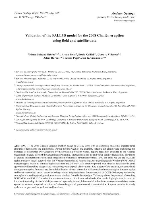
The 2008 Chaitén Volcano eruption began on 2 May 2008 with an explosive phase that injected large amounts of tephra into the atmosphere. During the first week of the eruption, volcanic ash clouds were transported for hundreds of kilometres over Argentina by the prevailing westerly winds. Tephra deposition extended to the Atlantic Ocean and severely affected the Argentinean Patagonia. Impacts included air and water quality degradation, disruption of ground transportation systems and cancellation of flights at airports more than 1,500 km apart. We use the FALL3D tephra transport model coupled with the Weather Research and Forecasting-Advanced Research Weather (WRF-ARW) meteorological model to simulate tephra fall from the 2-9 May 2008 eruptive period. Our hindcast results are in good agreement with satellite imagery and reproduce ground deposit observations. Key aspects of our analysis, not considered during syn-eruptive forecasts, are the re-initialization of each simulation with actualized meteorological forecast cycles and better constrained model inputs including column heights (inferred from reanalysis of GOES-10 imagery and nearby atmospheric soundings) and granulometric data obtained from field campaigns. This study shows the potential of coupling WRF/ARW and FALL3D models for short-term forecast of volcanic ash clouds. Our results highlight that, in order to improve forecasting of ash cloud dispersion and tephra deposition, it is essential to implement an operational observation system to measure temporal variations of column height and granulometric characteristics of tephra particles in nearly real-time, at proximal as well as distal locations. La erupción del volcán Chaitén se inició el 2 de Mayo de 2008 con una fase explosiva que inyectó grandes cantidades de tefra a la atmósfera. Durante la primera semana de erupción, se dispersaron nubes volcánicas por cientos de kilómetros sobre Argentina, siguiendo los vientos dominantes del oeste. El depósito de tefra se extendió hasta el océano Atlántico y afectó severamente a la Patagonia. Los impactos incluyen degradación de la calidad del aire y el agua, interrupción del sistema de transporte terrestre y la cancelación de vuelos incluso en aeropuertos a 1.500 km del volcán. Aquí se usó el modelo FALL3D de transporte y depósito de tefra con el modelo meteorológico Weather Research and Forecasting-Advanced Research Weather (WRF-ARW) para simular el período eruptivo del 2 al 9 de mayo de 2008. Los resultados obtenidos del pronóstico retrospectivo tienen una buena concordancia con las imágenes satelitales y reprodujeron las observaciones de depósito en superficie. Los aspectos claves de este análisis, no considerado durante los pronósticos contemporáneos, son la reinicialización de cada simulación con ciclos de pronósticos actualizados y condiciones iniciales del modelo más ajustadas, incluyendo alturas de columna eruptiva (inferidas a través del análisis de imágenes satelitales GOES-10 y radiosondeos cercanos) y datos granulométricos obtenidos a partir de campañas de campo. Este estudio muestra el gran potencial que tiene el acoplar el modelo WRF/ARW con el FALL3D para generar pronósticos a corto plazo de la nube volcánica. Los resultados presentados revelan que, para mejorar los pronósticos de dispersión y depósito de tefra, es esencial implementar un sistema de observación operativo con el fin de medir las variaciones temporales de la altura de columna y las características granulométricas de las partículas de tefra casi en tiempo real, tanto en lugares próximos como lejanos al volcán.
Validation of the FALL3D model for the 2008 Chaitén eruption using field and satellite data
Título:
Validación del modelo FALL3D para la erupción del Chaitén en 2008 usando datos satelitales y de campo
Osores, María Soledad ; Folch Duran, Arnau; Collini, Estela Angela; Villarosa, Gustavo
 ; Durant, Adam; Pujol, Gloria; Viramonte, Jose German
 ; Folch Duran, Arnau; Collini, Estela Angela; Villarosa, Gustavo
 ; Durant, Adam; Pujol, Gloria; Viramonte, Jose German
Fecha de publicación:
05/2013
Editorial:
Servicio Nacional Geologia y Minería
Revista:
Andean Geology
ISSN:
0718-7092
e-ISSN:
0718-7106
Idioma:
Inglés
Tipo de recurso:
Artículo publicado
Clasificación temática:
Resumen
Archivos asociados
Licencia
Identificadores
Colecciones
Articulos(INENCO)
Articulos de INST.DE INVEST.EN ENERGIA NO CONVENCIONAL
Articulos de INST.DE INVEST.EN ENERGIA NO CONVENCIONAL
Articulos(INIBIOMA)
Articulos de INST. DE INVEST.EN BIODIVERSIDAD Y MEDIOAMBIENTE
Articulos de INST. DE INVEST.EN BIODIVERSIDAD Y MEDIOAMBIENTE
Articulos(SEDE CENTRAL)
Articulos de SEDE CENTRAL
Articulos de SEDE CENTRAL
Citación
Osores, María Soledad; Folch Duran, Arnau; Collini, Estela Angela; Villarosa, Gustavo; Durant, Adam; et al.; Validation of the FALL3D model for the 2008 Chaitén eruption using field and satellite data; Servicio Nacional Geologia y Minería; Andean Geology; 40; 2; 5-2013; 262-276
Compartir
Altmétricas


