Mostrar el registro sencillo del ítem
dc.contributor.author
Hosseini, Mehdi
dc.contributor.author
McNairn, Heather
dc.contributor.author
Mitchell, Scott
dc.contributor.author
Robertson, Laura Dingle
dc.contributor.author
Davidson, Andrew
dc.contributor.author
Ahmadian, Nima
dc.contributor.author
Bhattacharya, Avik
dc.contributor.author
Borg, Erik
dc.contributor.author
Conrad, Christopher
dc.contributor.author
Dabrowska Zielinska, Katarzyna
dc.contributor.author
de Abelleyra, Diego

dc.contributor.author
Gurdak, Radoslaw
dc.contributor.author
Kumar, Vineet
dc.contributor.author
Kussul, Nataliia
dc.contributor.author
Mandal, Dipankar
dc.contributor.author
Rao, Y.S.
dc.contributor.author
Saliendra, Nicanor
dc.contributor.author
Shelestov, Andrii
dc.contributor.author
Spengler, Daniel
dc.contributor.author
Verón, Santiago Ramón

dc.contributor.author
Homayouni, Saeid
dc.contributor.author
Becker Reshef, Inbal
dc.date.available
2023-09-27T17:42:06Z
dc.date.issued
2021-04
dc.identifier.citation
Hosseini, Mehdi; McNairn, Heather; Mitchell, Scott; Robertson, Laura Dingle; Davidson, Andrew; et al.; A comparison between support vector machine and water cloud model for estimating crop leaf area index; Multidisciplinary Digital Publishing Institute; Remote Sensing; 13; 7; 4-2021; 1-20
dc.identifier.uri
http://hdl.handle.net/11336/213317
dc.description.abstract
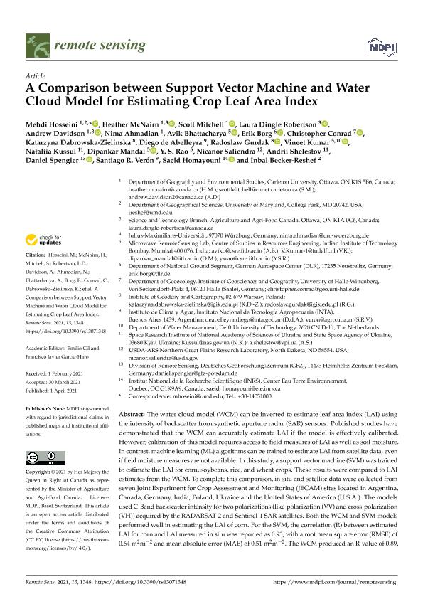
The water cloud model (WCM) can be inverted to estimate leaf area index (LAI) using the intensity of backscatter from synthetic aperture radar (SAR) sensors. Published studies have demonstrated that the WCM can accurately estimate LAI if the model is effectively calibrated. However, calibration of this model requires access to field measures of LAI as well as soil moisture. In contrast, machine learning (ML) algorithms can be trained to estimate LAI from satellite data, even if field moisture measures are not available. In this study, a support vector machine (SVM) was trained to estimate the LAI for corn, soybeans, rice, and wheat crops. These results were compared to LAI estimates from the WCM. To complete this comparison, in situ and satellite data were collected from seven Joint Experiment for Crop Assessment and Monitoring (JECAM) sites located in Argentina, Canada, Germany, India, Poland, Ukraine and the United States of America (U.S.A.). The models used C-Band backscatter intensity for two polarizations (like-polarization (VV) and cross-polarization (VH)) acquired by the RADARSAT-2 and Sentinel-1 SAR satellites. Both the WCM and SVM models performed well in estimating the LAI of corn. For the SVM, the correlation (R) between estimated LAI for corn and LAI measured in situ was reported as 0.93, with a root mean square error (RMSE) of 0.64 m2m-2 and mean absolute error (MAE) of 0.51 m2m-2. The WCM produced an R-value of 0.89, with only slightly higher errors (RMSE of 0.75 m2m-2 and MAE of 0.61 m2m-2) when estimating corn LAI. For rice, only the SVM model was tested, given the lack of soil moisture measures for this crop. In this case, both high correlations and low errors were observed in estimating the LAI of rice using SVM (R of 0.96, RMSE of 0.41 m2m-2 and MAE of 0.30 m2m-2). However, the results demonstrated that when the calibration points were limited (in this case for soybeans), the WCM outperformed the SVM model. This study demonstrates the importance of testing different modeling approaches over diverse agro-ecosystems to increase confidence in model performance.
dc.format
application/pdf
dc.language.iso
eng
dc.publisher
Multidisciplinary Digital Publishing Institute
dc.rights
info:eu-repo/semantics/openAccess
dc.rights.uri
https://creativecommons.org/licenses/by/2.5/ar/
dc.subject
LEAF AREA INDEX
dc.subject
MACHINE LEARNING
dc.subject
RADARSAT-2
dc.subject
SENTINEL-1
dc.subject
WATER CLOUD MODEL
dc.subject.classification
Otras Ciencias de la Tierra y relacionadas con el Medio Ambiente

dc.subject.classification
Ciencias de la Tierra y relacionadas con el Medio Ambiente

dc.subject.classification
CIENCIAS NATURALES Y EXACTAS

dc.title
A comparison between support vector machine and water cloud model for estimating crop leaf area index
dc.type
info:eu-repo/semantics/article
dc.type
info:ar-repo/semantics/artículo
dc.type
info:eu-repo/semantics/publishedVersion
dc.date.updated
2023-09-27T13:54:51Z
dc.identifier.eissn
2072-4292
dc.journal.volume
13
dc.journal.number
7
dc.journal.pagination
1-20
dc.journal.pais
Suiza

dc.journal.ciudad
Basilea
dc.description.fil
Fil: Hosseini, Mehdi. University of Maryland; Estados Unidos. Carleton University; Canadá
dc.description.fil
Fil: McNairn, Heather. Carleton University; Canadá.
Science and Technology Branch, Agriculture and Agri-Food Canada; Canadá
dc.description.fil
Fil: Mitchell, Scott. Carleton University; Canadá
dc.description.fil
Fil: Robertson, Laura Dingle.
Science and Technology Branch, Agriculture and Agri-Food Canada; Canadá
dc.description.fil
Fil: Davidson, Andrew. Carleton University; Canadá.
Science and Technology Branch, Agriculture and Agri-Food Canada; Canadá
dc.description.fil
Fil: Ahmadian, Nima. Universität Würzburg; Alemania
dc.description.fil
Fil: Bhattacharya, Avik. Indian Institute Of Technology Bombay; India
dc.description.fil
Fil: Borg, Erik. German Aerospace Center; Alemania
dc.description.fil
Fil: Conrad, Christopher. Leibniz Institut Fur Pflanzenbiochemie (ipb Halle);
dc.description.fil
Fil: Dabrowska Zielinska, Katarzyna.
Institute of Geodesy and Cartography; Polonia
dc.description.fil
Fil: de Abelleyra, Diego. Instituto Nacional de Tecnología Agropecuaria. Centro de Investigación de Recursos Naturales. Instituto de Clima y Agua; Argentina
dc.description.fil
Fil: Gurdak, Radoslaw.
Institute of Geodesy and Cartography; Polonia
dc.description.fil
Fil: Kumar, Vineet. Indian Institute Of Technology Bombay; India. Delft University of Technology; Países Bajos
dc.description.fil
Fil: Kussul, Nataliia. National Academy Of Sciences In Ukraine; Ucrania
dc.description.fil
Fil: Mandal, Dipankar. Indian Institute Of Technology Bombay; India
dc.description.fil
Fil: Rao, Y.S.. Indian Institute Of Technology Bombay; India
dc.description.fil
Fil: Saliendra, Nicanor.
USDA-ARS Northern Great Plains Research Laboratory; Estados Unidos
dc.description.fil
Fil: Shelestov, Andrii. National Academy Of Sciences In Ukraine; Ucrania
dc.description.fil
Fil: Spengler, Daniel. German Research Centre for Geosciences; Alemania
dc.description.fil
Fil: Verón, Santiago Ramón. Consejo Nacional de Investigaciones Científicas y Técnicas; Argentina. Instituto Nacional de Tecnología Agropecuaria. Centro de Investigación de Recursos Naturales. Instituto de Clima y Agua; Argentina
dc.description.fil
Fil: Homayouni, Saeid. Centre Eau Terre Environnement; Canadá
dc.description.fil
Fil: Becker Reshef, Inbal. University of Maryland; Estados Unidos
dc.journal.title
Remote Sensing
dc.relation.alternativeid
info:eu-repo/semantics/altIdentifier/doi/http://dx.doi.org/10.3390/rs13071348
dc.relation.alternativeid
info:eu-repo/semantics/altIdentifier/url/https://www.mdpi.com/2072-4292/13/7/1348
Archivos asociados
