Artículo
Different techniques for the assessment of geoelectrical data errors to improve the electrical images obtained at an industrial plant
Fecha de publicación:
06/2018
Editorial:
European Association of Geoscientists & Engineers
Revista:
Near Surface Geophysics
ISSN:
1569-4445
Idioma:
Inglés
Tipo de recurso:
Artículo publicado
Clasificación temática:
Resumen
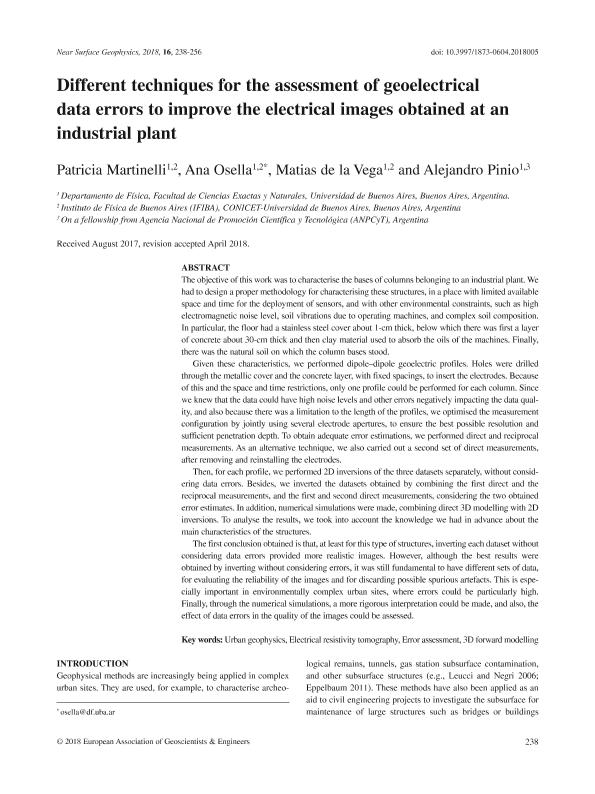
The objective of this work was to characterise the bases of columns belonging to an industrial plant. We had to design a proper methodology for characterising these structures, in a place with limited available space and time for the deployment of sensors, and with other environmental constraints, such as high electromagnetic noise level, soil vibrations due to operating machines, and complex soil composition. In particular, the floor had a stainless steel cover about 1-cm thick, below which there was first a layer of concrete about 30-cm thick and then clay material used to absorb the oils of the machines. Finally, there was the natural soil on which the column bases stood. Given these characteristics, we performed dipole–dipole geoelectric profiles. Holes were drilled through the metallic cover and the concrete layer, with fixed spacings, to insert the electrodes. Because of this and the space and time restrictions, only one profile could be performed for each column. Since we knew that the data could have high noise levels and other errors negatively impacting the data qual-ity, and also because there was a limitation to the length of the profiles, we optimised the measurement configuration by jointly using several electrode apertures, to ensure the best possible resolution and sufficient penetration depth. To obtain adequate error estimations, we performed direct and reciprocal measurements. As an alternative technique, we also carried out a second set of direct measurements, after removing and reinstalling the electrodes. Then, for each profile, we performed 2D inversions of the three datasets separately, without considering data errors. Besides, we inverted the datasets obtained by combining the first direct and the reciprocal measurements, and the first and second direct measurements, considering the two obtained error estimates. In addition, numerical simulations were made, combining direct 3D modelling with 2D inversions. To analyse the results, we took into account the knowledge we had in advance about the main characteristics of the structures. The first conclusion obtained is that, at least for this type of structures, inverting each dataset without considering data errors provided more realistic images. However, although the best results were obtained by inverting without considering errors, it was still fundamental to have different sets of data, for evaluating the reliability of the images and for discarding possible spurious artefacts. This is espe-cially important in environmentally complex urban sites, where errors could be particularly high. Finally, through the numerical simulations, a more rigorous interpretation could be made, and also, the effect of data errors in the quality of the images could be assessed.
Archivos asociados
Licencia
Identificadores
Colecciones
Articulos(IFIBA)
Articulos de INST.DE FISICA DE BUENOS AIRES
Articulos de INST.DE FISICA DE BUENOS AIRES
Citación
Martinelli, Hilda Patricia; Osella, Ana Maria; de la Vega, Matias; Pinio, Alejandro; Different techniques for the assessment of geoelectrical data errors to improve the electrical images obtained at an industrial plant; European Association of Geoscientists & Engineers; Near Surface Geophysics; 16; 3; 6-2018; 238-256
Compartir
Altmétricas


