Artículo
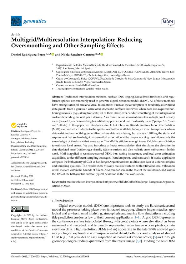
Multigrid/Multiresolution Interpolation: Reducing Oversmoothing and Other Sampling Effects
Fecha de publicación:
06/2022
Editorial:
MDPI
Revista:
Geomatics
e-ISSN:
2673-7418
Idioma:
Inglés
Tipo de recurso:
Artículo publicado
Clasificación temática:
Resumen
Traditional interpolation methods, such as IDW, kriging, radial basis functions, and regularized splines, are commonly used to generate digital elevation models (DEM). All of these methods have strong statistical and analytical foundations (such as the assumption of randomly distributed data points from a gaussian correlated stochastic surface); however, when data are acquired non-homogeneously (e.g., along transects) all of them show over/under-smoothing of the interpolated surface depending on local point density. As a result, actual information is lost in high point density areas (caused by over-smoothing) or artifacts appear around uneven density areas (“pimple” or “transect” effects). In this paper, we introduce a simple but robust multigrid/multiresolution interpolation (MMI) method which adapts to the spatial resolution available, being an exact interpolator wheredata exist and a smoothing generalizer where data are missing, but always fulfilling the statistical requirement that surface height mathematical expectation at the proper working resolution equals the mean height of the data at that same scale. The MMI is efficient enough to use K-fold cross-validation to estimate local errors. We also introduce a fractal extrapolation that simulates the elevation in data-depleted areas (rendering a visually realistic surface and also realistic error estimations). In this work, MMI is applied to reconstruct a real DEM, thus testing its accuracy and local error estimation capabilities under different sampling strategies (random points and transects). It is also applied to compute the bathymetry of Gulf of San Jorge (Argentina) from multisource data of different origins and sampling qualities. The results show visually realistic surfaces with estimated local validation errors that are within the bounds of direct DEM comparison, in the case of the simulation, and within the 10% of the bathymetric surface typical deviation in the real calculation.
Archivos asociados
Licencia
Identificadores
Colecciones
Articulos(CESIMAR)
Articulos de CENTRO PARA EL ESTUDIO DE SISTEMAS MARINOS
Articulos de CENTRO PARA EL ESTUDIO DE SISTEMAS MARINOS
Citación
Rodriguez-Perez, Daniel; Sanchez Carnero, Noela Belen; Multigrid/Multiresolution Interpolation: Reducing Oversmoothing and Other Sampling Effects; MDPI; Geomatics; 2; 3; 6-2022; 236-253
Compartir
Altmétricas


