Artículo
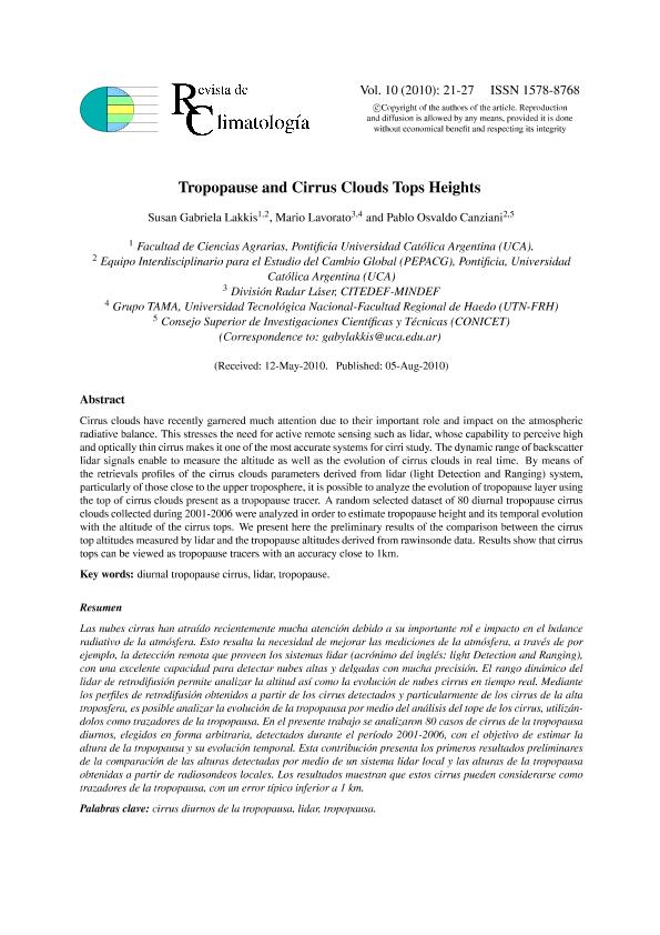
Cirrus clouds have recently garnered much attention due to their important role and impact on the atmospheric radiative balance. This stresses the need for active remote sensing such as lidar, whose capability to perceive high and optically thin cirrus makes it one of the most accurate systems for cirri study. The dynamic range of backscatter lidar signals enable to measure the altitude as well as the evolution of cirrus clouds in real time. By means of the retrievals profiles of the cirrus clouds parameters derived from lidar (light Detection and Ranging) system, particularly of those close to the upper troposphere, it is possible to analyze the evolution of tropopause layer using the top of cirrus clouds present as a tropopause tracer. A random selected dataset of 80 diurnal tropopause cirrus clouds collected during 2001-2006 were analyzed in order to estimate tropopause height and its temporal evolution with the altitude of the cirrus tops. We present here the preliminary results of the comparison between the cirrus top altitudes measured by lidar and the tropopause altitudes derived from rawinsonde data. Results show that cirrus tops can be viewed as tropopause tracers with an accuracy close to 1km. Las nubes cirrus han atraído recientemente mucha atención debido a su importante rol e impacto en el balance radiativo de la atmósfera. Esto resalta la necesidad de mejorar las mediciones de la atmósfera, a través de por ejemplo, la detección remota que proveen los sistemas lidar (acrónimo del inglés: light Detection and Ranging), con una excelente capacidad para detectar nubes altas y delgadas con mucha precisión. El rango dinámico del lidar de retrodifusión permite analizar la altitud así como la evolución de nubes cirrus en tiempo real. Mediante los perfiles de retrodifusión obtenidos a partir de los cirrus detectados y particularmente de los cirrus de la alta troposfera, es posible analizar la evolución de la tropopausa por medio del análisis del tope de los cirrus, utilizándolos como trazadores de la tropopausa. En el presente trabajo se analizaron 80 casos de cirrus de la tropopausa diurnos, elegidos en forma arbitraria, detectados durante el período 2001-2006, con el objetivo de estimar la altura de la tropopausa y su evolución temporal. Esta contribución presenta los primeros resultados preliminares de la comparación de las alturas detectadas por medio de un sistema lidar local y las alturas de la tropopausa obtenidas a partir de radiosondeos locales. Los resultados muestran que estos cirrus pueden considerarse como trazadores de la tropopausa, con un error típico inferior a 1 km.
Tropopause and Cirrus Clouds Tops Heights
Fecha de publicación:
08/2010
Editorial:
Universidad Católica Argentina
Revista:
Revista de Climatología
ISSN:
1578-8768
Idioma:
Inglés
Tipo de recurso:
Artículo publicado
Clasificación temática:
Resumen
Palabras clave:
Diurnal tropopause cirrus
,
lidar
,
tropopause
Archivos asociados
Licencia
Identificadores
Colecciones
Articulos(SEDE CENTRAL)
Articulos de SEDE CENTRAL
Articulos de SEDE CENTRAL
Citación
Lakkis, Susan Gabriela; Canziani, Pablo Osvaldo; Lavorato, Mario Blas; Tropopause and Cirrus Clouds Tops Heights; Universidad Católica Argentina; Revista de Climatología; 10; 8-2010; 21-27
Compartir


