Artículo
Magnetotelluric characterization through the Ambargasta-Sumampa Range: The connection between the northern and southern trace of the Río de La Plata Craton e Pampean Terrane tectonic boundary
Fecha de publicación:
01/2015
Editorial:
Pergamon-Elsevier Science Ltd
Revista:
Journal of South American Earth Sciences
ISSN:
0895-9811
Idioma:
Inglés
Tipo de recurso:
Artículo publicado
Clasificación temática:
Resumen
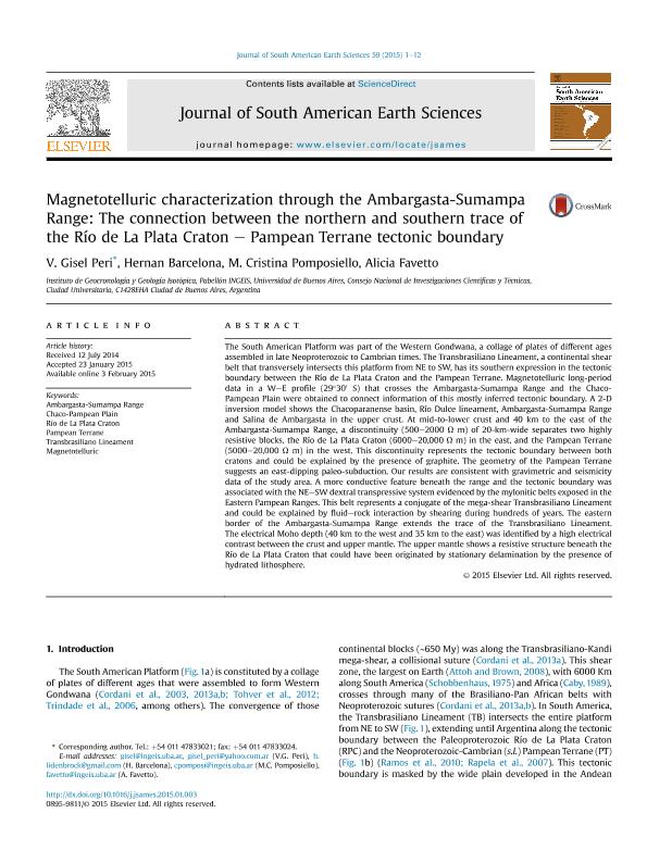
The South American Platform was part of the Western Gondwana, a collage of plates of different ages assembled in late Neoproterozoic to Cambrian times. The Transbrasiliano Lineament, a continental shear belt that transversely intersects this platform from NE to SW, has its southern expression in the tectonic boundary between the Río de La Plata Craton and the Pampean Terrane. Magnetotelluric long-period data in a W-E profile (29°30' S) that crosses the Ambargasta-Sumampa Range and the Chaco-Pampean Plain were obtained to connect information of this mostly inferred tectonic boundary. A 2-D inversion model shows the Chacoparanense basin, Río Dulce lineament, Ambargasta-Sumampa Range and Salina de Ambargasta in the upper crust. At mid-to-lower crust and 40km to the east of the Ambargasta-Sumampa Range, a discontinuity (500-2000Ωm) of 20-km-wide separates two highly resistive blocks, the Río de La Plata Craton (6000-20,000Ωm) in the east, and the Pampean Terrane (5000-20,000Ωm) in the west. This discontinuity represents the tectonic boundary between both cratons and could be explained by the presence of graphite. The geometry of the Pampean Terrane suggests an east-dipping paleo-subduction. Our results are consistent with gravimetric and seismicity data of the study area. A more conductive feature beneath the range and the tectonic boundary was associated with the NE-SW dextral transpressive system evidenced by the mylonitic belts exposed in the Eastern Pampean Ranges. This belt represents a conjugate of the mega-shear Transbrasiliano Lineament and could be explained by fluid-rock interaction by shearing during hundreds of years. The eastern border of the Ambargasta-Sumampa Range extends the trace of the Transbrasiliano Lineament. Theelectrical Moho depth (40km to the west and 35km to the east) was identified by a high electrical contrast between the crust and upper mantle. The upper mantle shows a resistive structure beneath the Río de La Plata Craton that could have been originated by stationary delamination by the presence of hydrated lithosphere.
Archivos asociados
Licencia
Identificadores
Colecciones
Articulos(INGEIS)
Articulos de INST.DE GEOCRONOLOGIA Y GEOLOGIA ISOTOPICA (I)
Articulos de INST.DE GEOCRONOLOGIA Y GEOLOGIA ISOTOPICA (I)
Citación
Peri, Verónica Gisel; Barcelona, Hernan; Pomposiello, Maria Cristina; Favetto, Alicia Beatriz; Magnetotelluric characterization through the Ambargasta-Sumampa Range: The connection between the northern and southern trace of the Río de La Plata Craton e Pampean Terrane tectonic boundary; Pergamon-Elsevier Science Ltd; Journal of South American Earth Sciences; 59; 1-2015; 1-12
Compartir
Altmétricas


