Mostrar el registro sencillo del ítem
dc.contributor.author
Gossn, Juan Ignacio

dc.contributor.author
Frouin, Robert
dc.contributor.author
Dogliotti, Ana Inés

dc.date.available
2022-12-15T11:52:00Z
dc.date.issued
2021-03
dc.identifier.citation
Gossn, Juan Ignacio; Frouin, Robert; Dogliotti, Ana Inés; Atmospheric correction of satellite optical imagery over the río de la plata highly turbid waters using a SWIR-based principal component decomposition technique; MDPI AG; Remote Sensing; 13; 6; 3-2021; 1-26
dc.identifier.issn
2072-4292
dc.identifier.uri
http://hdl.handle.net/11336/181256
dc.description.abstract
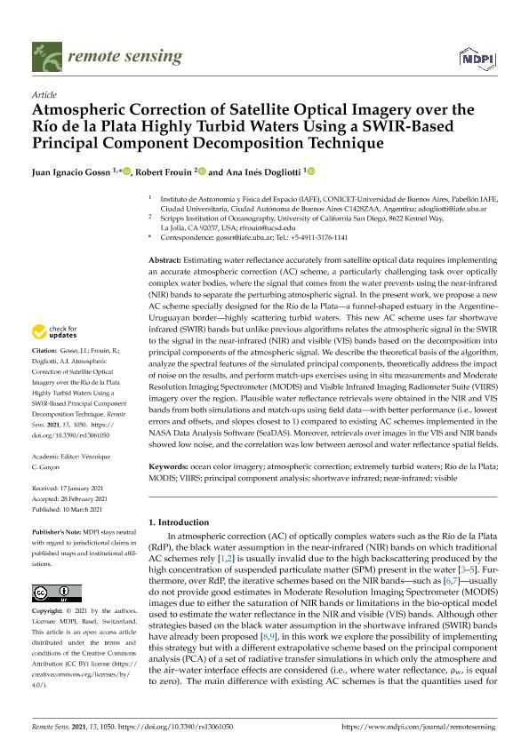
Estimating water reflectance accurately from satellite optical data requires implementing an accurate atmospheric correction (AC) scheme, a particularly challenging task over optically complex water bodies, where the signal that comes from the water prevents using the near-infrared (NIR) bands to separate the perturbing atmospheric signal. In the present work, we propose a new AC scheme specially designed for the Río de la Plata—a funnel-shaped estuary in the Argentine– Uruguayan border—highly scattering turbid waters. This new AC scheme uses far shortwave infrared (SWIR) bands but unlike previous algorithms relates the atmospheric signal in the SWIR to the signal in the near-infrared (NIR) and visible (VIS) bands based on the decomposition into principal components of the atmospheric signal. We describe the theoretical basis of the algorithm, analyze the spectral features of the simulated principal components, theoretically address the impact of noise on the results, and perform match-ups exercises using in situ measurements and Moderate Resolution Imaging Spectrometer (MODIS) and Visible Infrared Imaging Radiometer Suite (VIIRS) imagery over the region. Plausible water reflectance retrievals were obtained in the NIR and VIS bands from both simulations and match-ups using field data—with better performance (i.e., lowest errors and offsets, and slopes closest to 1) compared to existing AC schemes implemented in the NASA Data Analysis Software (SeaDAS). Moreover, retrievals over images in the VIS and NIR bands showed low noise, and the correlation was low between aerosol and water reflectance spatial fields.
dc.format
application/pdf
dc.language.iso
eng
dc.publisher
MDPI AG
dc.rights
info:eu-repo/semantics/openAccess
dc.rights.uri
https://creativecommons.org/licenses/by/2.5/ar/
dc.subject
ATMOSPHERIC CORRECTION
dc.subject
EXTREMELY TURBID WATERS
dc.subject
MODIS
dc.subject
NEAR-INFRARED
dc.subject
OCEAN COLOR IMAGERY
dc.subject
PRINCIPAL COMPONENT ANALYSIS
dc.subject
RÍO DE LA PLATA
dc.subject
SHORTWAVE INFRARED
dc.subject
VIIRS
dc.subject
VISIBLE
dc.subject.classification
Otras Ciencias de la Tierra y relacionadas con el Medio Ambiente

dc.subject.classification
Ciencias de la Tierra y relacionadas con el Medio Ambiente

dc.subject.classification
CIENCIAS NATURALES Y EXACTAS

dc.title
Atmospheric correction of satellite optical imagery over the río de la plata highly turbid waters using a SWIR-based principal component decomposition technique
dc.type
info:eu-repo/semantics/article
dc.type
info:ar-repo/semantics/artículo
dc.type
info:eu-repo/semantics/publishedVersion
dc.date.updated
2022-09-23T10:13:29Z
dc.journal.volume
13
dc.journal.number
6
dc.journal.pagination
1-26
dc.journal.pais
Suiza

dc.description.fil
Fil: Gossn, Juan Ignacio. Consejo Nacional de Investigaciones Científicas y Técnicas. Oficina de Coordinación Administrativa Ciudad Universitaria. Instituto de Astronomía y Física del Espacio. - Universidad de Buenos Aires. Facultad de Ciencias Exactas y Naturales. Instituto de Astronomía y Física del Espacio; Argentina
dc.description.fil
Fil: Frouin, Robert. University of California at San Diego. Scripps Institution of Oceanography; Estados Unidos
dc.description.fil
Fil: Dogliotti, Ana Inés. Consejo Nacional de Investigaciones Científicas y Técnicas. Oficina de Coordinación Administrativa Ciudad Universitaria. Instituto de Astronomía y Física del Espacio. - Universidad de Buenos Aires. Facultad de Ciencias Exactas y Naturales. Instituto de Astronomía y Física del Espacio; Argentina
dc.journal.title
Remote Sensing
dc.relation.alternativeid
info:eu-repo/semantics/altIdentifier/url/https://www.mdpi.com/2072-4292/13/6/1050
dc.relation.alternativeid
info:eu-repo/semantics/altIdentifier/doi/http://dx.doi.org/10.3390/rs13061050
Archivos asociados
