Mostrar el registro sencillo del ítem
dc.contributor.author
Holzman, Mauro Ezequiel

dc.contributor.author
Rivas, Raúl Eduardo

dc.contributor.author
Bayala, Martin Ignacio

dc.date.available
2022-08-08T15:41:14Z
dc.date.issued
2021-08
dc.identifier.citation
Holzman, Mauro Ezequiel; Rivas, Raúl Eduardo; Bayala, Martin Ignacio; Relationship between TIR and NIR-SWIR as indicator of vegetation water availability; Multidisciplinary Digital Publishing Institute; Remote Sensing; 13; 17; 8-2021; 1-19
dc.identifier.uri
http://hdl.handle.net/11336/164572
dc.description.abstract
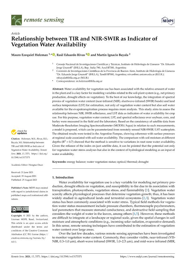
Water availability for vegetation use has been associated with the relative amount of water in the plant and is a key factor for modeling variables related to the soil-plant system (e.g., net primary production, drought effects on vegetation). To the best of our knowledge, the integration of spectral proxies of vegetation water content (near-infrared (NIR), shortwave-infrared (SWIR) bands) and land surface temperature (LST) for estimation, not only of vegetation water content but also soil water available for the evapotranspiration process requires more analysis. This study aims to assess the relationship between NIR, SWIR reflectance, and LST data as indicators of water availability for crop use. For this purpose, vegetation water content, LST, and spectral reflectance over soybean, corn, and barley were measured in the field and the laboratory. Based on the consistency of satellite data from Moderate-Resolution Imaging Spectroradiometer (MODIS/Aqua) in relation to such measurements, a model is proposed, which can be parameterized from remotely sensed NIR-SWIR/LST scatterplots. The obtained results were tested in the Argentine Pampas, showing coherence with surface processes at regional scale associated with soil water availability. The comparison with soil moisture at different depths (R2 > 0.7) showed that the method is sensitive to variations in root zone water availability. Given the reliance of the index on just satellite data, it can be pointed that the potential not only for vegetation water stress analyses but also in the context of hydrological modeling as an input of water availability.
dc.format
application/pdf
dc.language.iso
eng
dc.publisher
Multidisciplinary Digital Publishing Institute
dc.rights
info:eu-repo/semantics/openAccess
dc.rights.uri
https://creativecommons.org/licenses/by/2.5/ar/
dc.subject
DROUGHT
dc.subject
ENERGY BALANCE
dc.subject
OPTICAL/THERMAL
dc.subject
WATER VEGETATION STATUS
dc.subject.classification
Oceanografía, Hidrología, Recursos Hídricos

dc.subject.classification
Ciencias de la Tierra y relacionadas con el Medio Ambiente

dc.subject.classification
CIENCIAS NATURALES Y EXACTAS

dc.subject.classification
Otras Ciencias de la Tierra y relacionadas con el Medio Ambiente

dc.subject.classification
Ciencias de la Tierra y relacionadas con el Medio Ambiente

dc.subject.classification
CIENCIAS NATURALES Y EXACTAS

dc.title
Relationship between TIR and NIR-SWIR as indicator of vegetation water availability
dc.type
info:eu-repo/semantics/article
dc.type
info:ar-repo/semantics/artículo
dc.type
info:eu-repo/semantics/publishedVersion
dc.date.updated
2022-08-04T15:09:17Z
dc.identifier.eissn
2072-4292
dc.journal.volume
13
dc.journal.number
17
dc.journal.pagination
1-19
dc.journal.pais
Suiza

dc.journal.ciudad
Basilea
dc.description.fil
Fil: Holzman, Mauro Ezequiel. Comisión de Investigaciones Científicas de la Provincia de Buenos Aires. Instituto de Hidrología de Llanuras "Dr. Eduardo Jorge Usunoff". - Consejo Nacional de Investigaciones Científicas y Técnicas. Centro Científico Tecnológico Conicet - Tandil. Instituto de Hidrología de Llanuras "Dr. Eduardo Jorge Usunoff". - Universidad Nacional del Centro de la Provincia de Buenos Aires. Instituto de Hidrología de Llanuras "Dr. Eduardo Jorge Usunoff"; Argentina
dc.description.fil
Fil: Rivas, Raúl Eduardo. Universidad Nacional del Centro de la Provincia de Buenos Aires. Rectorado. Instituto de Hidrología de Llanuras - Sede Tandil. Provincia de Buenos Aires. Gobernación. Comisión de Investigaciones Científicas. Instituto de Hidrología de Llanuras - Sede Tandil; Argentina
dc.description.fil
Fil: Bayala, Martin Ignacio. Universidad Nacional del Centro de la Provincia de Buenos Aires. Rectorado. Instituto de Hidrología de Llanuras - Sede Tandil. Provincia de Buenos Aires. Gobernación. Comisión de Investigaciones Científicas. Instituto de Hidrología de Llanuras - Sede Tandil; Argentina
dc.journal.title
Remote Sensing
dc.relation.alternativeid
info:eu-repo/semantics/altIdentifier/url/https://www.mdpi.com/2072-4292/13/17/3371
dc.relation.alternativeid
info:eu-repo/semantics/altIdentifier/doi/http://dx.doi.org/10.3390/rs13173371
Archivos asociados
