Artículo
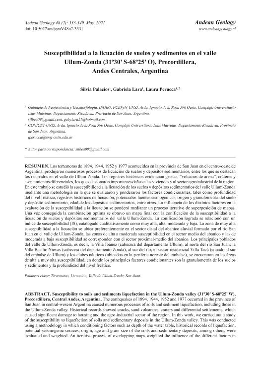
Los terremotos de 1894, 1944, 1952 y 1977 acontecidos en la provincia de San Juan en el centro-oeste de Argentina, produjeron numerosos procesos de licuación de suelos y depósitos sedimentarios, entre los que se destacan los ocurridos en el valle de Ullum-Zonda. Los registros históricos evidencian grietas, “volcanes de arena”, cráteres y asentamientos diferenciales, los que ocasionaron importantes daños a las viviendas y al sector agroindustrial de la región. En este trabajo se estudió la susceptibilidad a la licuación de los suelos y depósitos sedimentarios del valle Ullum-Zonda mediante una metodología en la que se evaluaron y ponderaron los factores condicionantes, tales como profundidad del nivel freático, registros históricos de licuación, potenciales fuentes sismogénicas, origen y granulometría del suelo y depósito sedimentario, edad de los depósitos sedimentarios, entre otros. La influencia de los distintos factores en la evaluación de la susceptibilidad a la licuación se ponderó mediante un proceso iterativo de superposición de mapas. Una vez conseguida la combinación óptima se obtuvo un mapa final con la zonificación de la susceptibilidad a la licuación de suelos y depósitos sedimentarios del valle Ullum-Zonda. La zonificación lograda se relacionó con un índice de susceptibilidad (IS), catalogado cualitativamente como muy alta, alta, moderada y baja. La zona de muy alta susceptibilidad a la licuación se ubica preferentemente en el sector distal del abanico aluvial formado por el río San Juan en el valle de Ullum-Zonda, las zonas de alta a moderada susceptibilidad en el sector medio del abanico y las de moderada a baja susceptibilidad se corresponden con el sector proximal-medio del abanico. Los principales poblados del valle de Ullum-Zonda, es decir, la Villa Ibáñez (cabecera del departamento Ullum), al norte del río San Juan; la Villa Basilio Nievas (cabecera del departamento Zonda), al sur del río; el sector residencial Villa Tacú (situado al sur del embalse de Ullum) y los clubes náuticos (ubicados en la periferia noreste del embalse), se encuentran en las áreas de alta a muy alta susceptibilidad, en donde los principales factores condicionantes son la granulometría de los suelos y sedimentos y la profundidad del nivel freático. The earthquakes of 1894, 1944, 1952 and 1977 occurred in the province of San Juan in central-wesern Argentina caused numerous processes of soils and sediment liquefaction, including those in the Ullum-Zonda valley. Historical records showed cracks, sand volcanoes, craters and differential settlements, which caused significant damage to housing and the agro-industrial sector of the region. In this work, we carried out a study of the susceptibility to liquefaction of soils and sedimentary deposits in the Ullum-Zonda valley. This was conducted using a methodology in which conditioning factors such as depth of the water table, historical records of liquefaction, potential seismogenic sources, origin, age and grain size of the soils and sedimentary deposits, among others, were evaluated and weighted. An iterative process of overlapping maps weighted the influence of the different factors in the assessment of susceptibility. Once the optimal combination was achieved, a final map with the zoning of soils and sediment susceptibility to liquefaction was obtained for the Ulum-Zonda Valley. The achieved zoning was related to a susceptibility index (SI), qualitatively classified as very high, high, moderate and low. The zone of very high susceptibility to liquefaction is located in the distal portion of the alluvial fan formed by the San Juan River in the Ullum-Zonda Valley, the areas of high to moderate susceptibility in the middle sector of the fan, and those of moderate to low susceptibility correspond to the proximal-middle sector of the fan. The main villages of the Ullum-Zonda valley, Ibáñez (head of the Ullum department) to the north of the San Juan River, Basilio Nievas (head of the Zonda department), to the south of the river, Tacú residential sector (located south of the Ullum dam) and the yacht clubs (located on the northeast periphery of the dam) are located in the areas of high to very high susceptibility, where the main conditioning factors are soil and sediments granulometry and the depth of the phreatic level.
Susceptibilidad a la licuación de suelos y sedimentos en el valle Ullum-Zonda (31º30’ S-68º25’ O), Precordillera, Andes Centrales, Argentina
Título:
Susceptibility to soils and sediments liquefaction in the Ullum-Zonda valley (31º30’ S-68º25’ W), Precordillera, Central Andes, Argentina
Fecha de publicación:
05/2021
Editorial:
Servicio Nacional de Geología y Minería
Revista:
Andean Geology
ISSN:
0718-7092
e-ISSN:
0718-7106
Idioma:
Español
Tipo de recurso:
Artículo publicado
Clasificación temática:
Resumen
Palabras clave:
LICUACION
,
SUELOS
,
TERREMOTO
,
SAN JUAN
Archivos asociados
Licencia
Identificadores
Colecciones
Articulos(CCT - SAN JUAN)
Articulos de CENTRO CIENTIFICO TECNOLOGICO CONICET - SAN JUAN
Articulos de CENTRO CIENTIFICO TECNOLOGICO CONICET - SAN JUAN
Citación
Palacios, Silvia Beatriz; Lara Ferrero, Gabriela Cristina; Perucca, Laura Patricia A.; Susceptibilidad a la licuación de suelos y sedimentos en el valle Ullum-Zonda (31º30’ S-68º25’ O), Precordillera, Andes Centrales, Argentina; Servicio Nacional de Geología y Minería; Andean Geology; 48; 2; 5-2021; 333-349
Compartir
Altmétricas


