Mostrar el registro sencillo del ítem
dc.contributor.author
Guevara Ochoa, Cristian

dc.contributor.author
Vives, Luis Sebastián

dc.contributor.author
Zimmermann, Erik Daniel

dc.contributor.author
Masson, Ignacio

dc.contributor.author
Fajardo, Luisa
dc.contributor.author
Scioli, Carlos

dc.date.available
2022-02-11T03:57:35Z
dc.date.issued
2019-03
dc.identifier.citation
Guevara Ochoa, Cristian; Vives, Luis Sebastián; Zimmermann, Erik Daniel; Masson, Ignacio; Fajardo, Luisa; et al.; Analysis and correction of digital elevation models for plain areas; Amer Soc Photogrammetry; Photogrammetric Engineering And Remote Sensing; 85; 3; 3-2019; 209-219
dc.identifier.issn
0099-1112
dc.identifier.uri
http://hdl.handle.net/11336/151841
dc.description.abstract
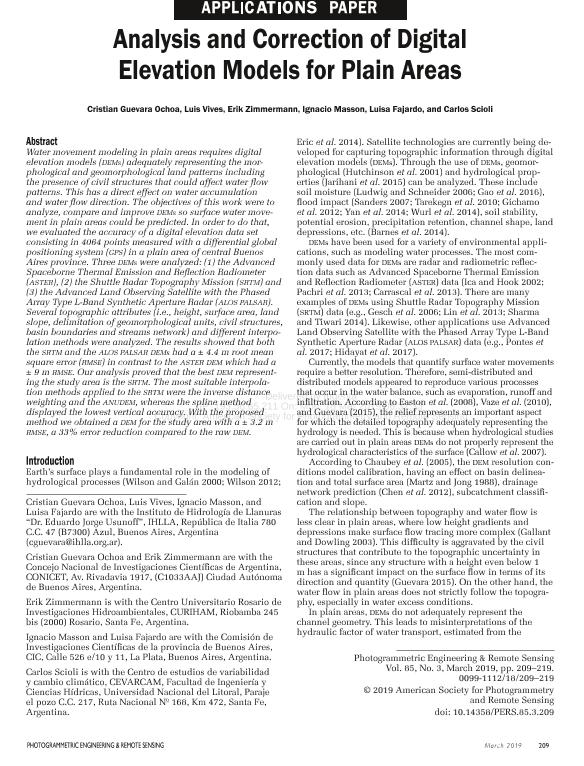
Water movement modeling in plain areas requires digital elevation models (DEMs) adequately representing the morphological and geomorphological land patterns including the presence of civil structures that could affect water flow patterns. This has a direct effect on water accumulation and water flow direction. The objectives of this work were to analyze, compare and improve DEMs so surface water movement in plain areas could be predicted. In order to do that, we evaluated the accuracy of a digital elevation data set consisting in 4,064 points measured with a differential GPS in a plain area of central Buenos Aires province. Three DEMs were analyzed: (1) the Advanced Spaceborne Thermal Emission and Reflection Radiometer (ASTER), (2) the Shuttle Radar Topography Mission (SRTM) and (3) the Advanced Land Observing Satellite with the Phased Array Type L-Band Synthetic Aperture Radar (ALOS PALSAR). Several topographic attributes (i.e., height, surface area, land slope, delimitation of geomorphological units, civil structures, basin boundaries and streams network) and different interpolation methods were analyzed. The results showed that both the SRTM and the ALOS PALSAR DEMs had a ± 4.4 m root mean square error (RMSE) in contrast to the ASTER DEM which had a ± 9 m RMSE. Our analysis proved that the best DEM representing the study area is the SRTM. The most suitable interpolation methods applied to the SRTM were the inverse distance weighting and the ANUDEM, whereas the spline method displayed the lowest vertical accuracy. With the proposed method we obtained a DEM for the study area with a ± 3.2 m RMSE, a 33% error reduction compared to the raw DEM.
dc.format
application/pdf
dc.language.iso
eng
dc.publisher
Amer Soc Photogrammetry

dc.rights
info:eu-repo/semantics/openAccess
dc.rights.uri
https://creativecommons.org/licenses/by-nc-sa/2.5/ar/
dc.subject
ASTER GDEM2
dc.subject
SRTM
dc.subject
ALOS PALSAR
dc.subject
DEMs
dc.subject.classification
Oceanografía, Hidrología, Recursos Hídricos

dc.subject.classification
Ciencias de la Tierra y relacionadas con el Medio Ambiente

dc.subject.classification
CIENCIAS NATURALES Y EXACTAS

dc.title
Analysis and correction of digital elevation models for plain areas
dc.type
info:eu-repo/semantics/article
dc.type
info:ar-repo/semantics/artículo
dc.type
info:eu-repo/semantics/publishedVersion
dc.date.updated
2020-04-24T17:49:19Z
dc.journal.volume
85
dc.journal.number
3
dc.journal.pagination
209-219
dc.journal.pais
Estados Unidos

dc.description.fil
Fil: Guevara Ochoa, Cristian. Universidad Nacional del Centro de la Provincia de Buenos Aires. Rectorado. Instituto de Hidrología de Llanuras - Sede Azul. Provincia de Buenos Aires. Gobernación. Comisión de Investigaciones Científicas. Instituto de Hidrología de Llanuras - Sede Azul; Argentina
dc.description.fil
Fil: Vives, Luis Sebastián. Universidad Nacional del Centro de la Provincia de Buenos Aires. Rectorado. Instituto de Hidrología de Llanuras - Sede Azul. Provincia de Buenos Aires. Gobernación. Comisión de Investigaciones Científicas. Instituto de Hidrología de Llanuras - Sede Azul; Argentina
dc.description.fil
Fil: Zimmermann, Erik Daniel. Universidad Nacional de Rosario. Facultad de Ciencias Exactas Ingeniería y Agrimensura. Centro Universidad Rosario de Investigaciones Hidroambientales; Argentina. Consejo Nacional de Investigaciones Científicas y Técnicas. Centro Científico Tecnológico Conicet - Rosario; Argentina
dc.description.fil
Fil: Masson, Ignacio. Universidad Nacional del Centro de la Provincia de Buenos Aires. Rectorado. Instituto de Hidrología de Llanuras - Sede Azul. Provincia de Buenos Aires. Gobernación. Comisión de Investigaciones Científicas. Instituto de Hidrología de Llanuras - Sede Azul; Argentina. Provincia de Buenos Aires. Gobernación. Comisión de Investigaciones Científicas; Argentina
dc.description.fil
Fil: Fajardo, Luisa. Universidad Nacional del Centro de la Provincia de Buenos Aires. Rectorado. Instituto de Hidrología de Llanuras - Sede Azul. Provincia de Buenos Aires. Gobernación. Comisión de Investigaciones Científicas. Instituto de Hidrología de Llanuras - Sede Azul; Argentina. Provincia de Buenos Aires. Gobernación. Comisión de Investigaciones Científicas; Argentina
dc.description.fil
Fil: Scioli, Carlos. Universidad Nacional del Litoral. Facultad de Ingeniería y Ciencias Hídricas. Centro de Estudios de Variabilidad y Cambio Climático; Argentina
dc.journal.title
Photogrammetric Engineering And Remote Sensing

dc.relation.alternativeid
info:eu-repo/semantics/altIdentifier/doi/http://dx.doi.org/10.14358/PERS.85.3.209
dc.relation.alternativeid
info:eu-repo/semantics/altIdentifier/url/https://www.ingentaconnect.com/content/asprs/pers/2019/00000085/00000003/art00015
Archivos asociados
