Artículo
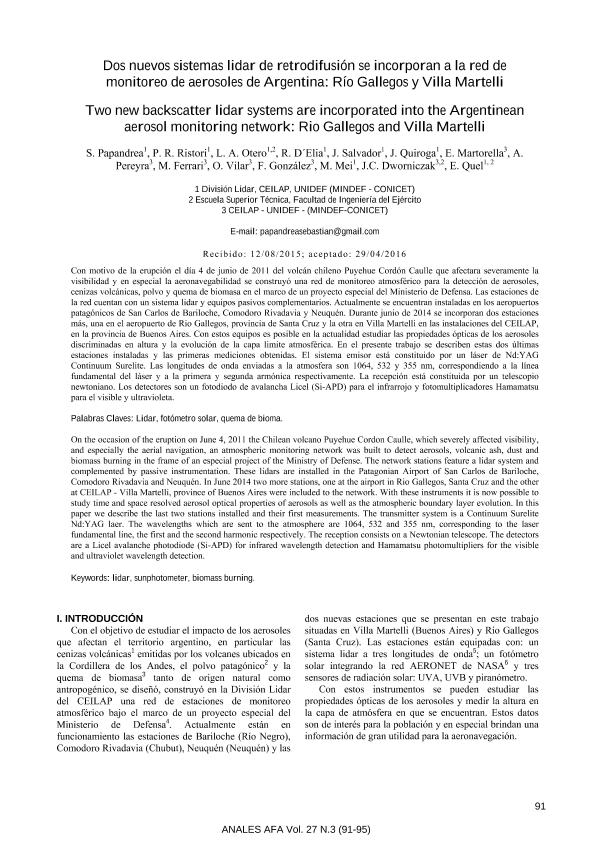
Con motivo de la erupción el día 4 de junio de 2011 del volcán chileno Puyehue Cordón Caulle que afectara severamente la visibilidad y en especial la aeronavegabilidad se construyó una red de monitoreo atmosférico para la detección de aerosoles, cenizas volcánicas, polvo y quema de biomasa en el marco de un proyecto especial del Ministerio de Defensa. Las estaciones de la red cuentan con un sistema lidar y equipos pasivos complementarios. Actualmente se encuentran instaladas en los aeropuertos patagónicos de San Carlos de Bariloche, Comodoro Rivadavia y Neuquén. Durante junio de 2014 se incorporan dos estaciones más, una en el aeropuerto de Rio Gallegos, provincia de Santa Cruz y la otra en Villa Martelli en las instalaciones del CEILAP,en la provincia de Buenos Aires. Con estos equipos es posible en la actualidad estudiar las propiedades ópticas de los aerosoles discriminadas en altura y la evolución de la capa limite atmosférica. En el presente trabajo se describen estas dos últimas estaciones instaladas y las primeras mediciones obtenidas. El sistema emisor está constituido por un láser de Nd:YAG Continuum Surelite. Las longitudes de onda enviadas a la atmosfera son 1064, 532 y 355 nm, correspondiendo a la línea fundamental del láser y a la primera y segunda armónica respectivamente. La recepción está constituida por un telescopio newtoniano. Los detectores son un fotodiodo de avalancha Licel (Si-APD) para el infrarrojo y fotomultiplicadores Hamamatsu para el visible y ultravioleta. On the occasion of the eruption on June 4, 2011 the Chilean volcano Puyehue Cordon Caulle, which severely affected visibility, and especially the aerial navigation, an atmospheric monitoring network was built to detect aerosols, volcanic ash, dust and biomass burning in the frame of an especial project of the Ministry of Defense. The network stations feature a lidar system and complemented by passive instrumentation. These lidars are installed in the Patagonian Airport of San Carlos de Bariloche, Comodoro Rivadavia and Neuquén. In June 2014 two more stations, one at the airport in Rio Gallegos, Santa Cruz and the other at CEILAP - Villa Martelli, province of Buenos Aires were included to the network. With these instruments it is now possible to study time and space resolved aerosol optical properties of aerosols as well as the atmospheric boundary layer evolution. In this paper we describe the last two stations installed and their first measurements. The transmitter system is a Continuum Surelite Nd:YAG laer. The wavelengths which are sent to the atmosphere are 1064, 532 and 355 nm, corresponding to the laser fundamental line, the first and the second harmonic respectively. The reception consists on a Newtonian telescope. The detectors are a Licel avalanche photodiode (Si-APD) for infrared wavelength detection and Hamamatsu photomultipliers for the visible and ultraviolet wavelength detection.
Dos nuevos sistemas lidar de retrodifusión se incorporan a la red de monitoreo de aerosoles de Argentina: Río Gallegos y Villa Martelli
Título:
Two new backscatter lidar systems are incorporated into the Argentinean aerosol monitoring network: Rio Gallegos and Villa Martelli
Papandrea, Sebastián Daniel; Ristori, Pablo Roberto; Otero, Lidia Ana ; D'elia, Raul Luis
 ; Salvador, Jacobo Omar
 ; Quiroga, Jonathan Javier
 ; D'elia, Raul Luis
 ; Salvador, Jacobo Omar
 ; Quiroga, Jonathan Javier
Fecha de publicación:
02/10/2016
Editorial:
Asociación Física Argentina
Revista:
Anales AFA
ISSN:
1850-1168
Idioma:
Español
Tipo de recurso:
Artículo publicado
Clasificación temática:
Resumen
Palabras clave:
LIDAR
,
FOTÓMETRO SOLAR
,
QUEMA DE BIOMA
Archivos asociados
Licencia
Identificadores
Colecciones
Articulos(UNIDEF)
Articulos de UNIDAD DE INVESTIGACION Y DESARROLLO ESTRATEGICOS PARA LA DEFENSA
Articulos de UNIDAD DE INVESTIGACION Y DESARROLLO ESTRATEGICOS PARA LA DEFENSA
Citación
Papandrea, Sebastián Daniel; Ristori, Pablo Roberto; Otero, Lidia Ana; D'elia, Raul Luis; Salvador, Jacobo Omar; et al.; Dos nuevos sistemas lidar de retrodifusión se incorporan a la red de monitoreo de aerosoles de Argentina: Río Gallegos y Villa Martelli; Asociación Física Argentina; Anales AFA; 27; 3; 2-10-2016; 91-95
Compartir
Altmétricas


