Mostrar el registro sencillo del ítem
dc.contributor.author
Teich, Ingrid

dc.contributor.author
González Roglich, Mariano

dc.contributor.author
Corso, María Laura
dc.contributor.author
García, César Luis

dc.date.available
2021-04-21T18:50:34Z
dc.date.issued
2019-12-06
dc.identifier.citation
Teich, Ingrid; González Roglich, Mariano; Corso, María Laura; García, César Luis; Combining earth observations, cloud computing, and expert knowledge to inform national level degradation assessments in support of the 2030 development agenda; Multidisciplinary Digital Publishing Institute; Remote Sensing; 11; 24; 6-12-2019; 1-20
dc.identifier.uri
http://hdl.handle.net/11336/130651
dc.description.abstract
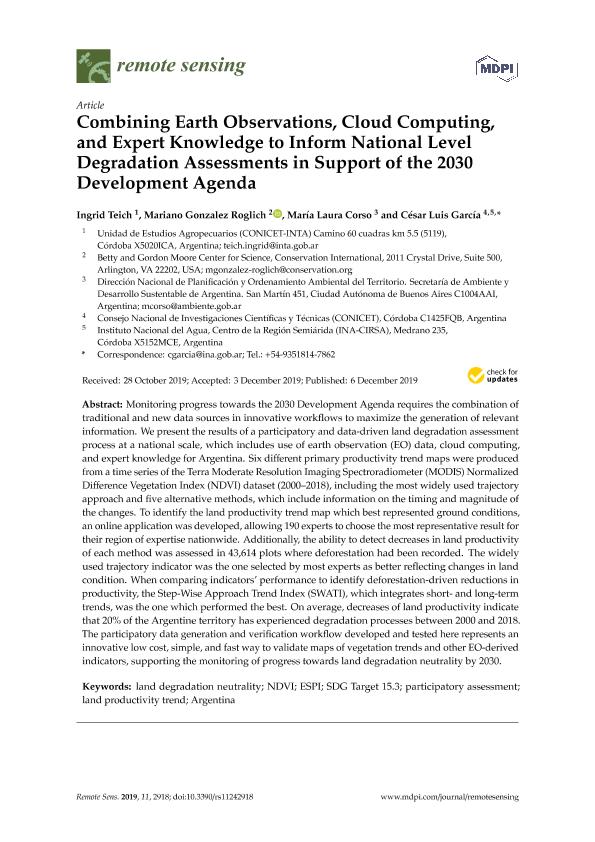
Monitoring progress towards the 2030 Development Agenda requires the combination of traditional and new data sources in innovative workflows to maximize the generation of relevant information. We present the results of a participatory and data-driven land degradation assessment process at a national scale, which includes use of earth observation (EO) data, cloud computing, and expert knowledge for Argentina. Six different primary productivity trend maps were produced from a time series of the Terra Moderate Resolution Imaging Spectroradiometer (MODIS) Normalized Difference Vegetation Index (NDVI) dataset (2000-2018), including the most widely used trajectory approach and five alternative methods, which include information on the timing and magnitude of the changes. To identify the land productivity trend map which best represented ground conditions, an online application was developed, allowing 190 experts to choose the most representative result for their region of expertise nationwide. Additionally, the ability to detect decreases in land productivity of each method was assessed in 43,614 plots where deforestation had been recorded. The widely used trajectory indicator was the one selected by most experts as better reflecting changes in land condition. When comparing indicators' performance to identify deforestation-driven reductions in productivity, the Step-Wise Approach Trend Index (SWATI), which integrates short- and long-term trends, was the one which performed the best. On average, decreases of land productivity indicate that 20% of the Argentine territory has experienced degradation processes between 2000 and 2018. The participatory data generation and verification workflow developed and tested here represents an innovative low cost, simple, and fast way to validate maps of vegetation trends and other EO-derived indicators, supporting the monitoring of progress towards land degradation neutrality by 2030.
dc.format
application/pdf
dc.language.iso
eng
dc.publisher
Multidisciplinary Digital Publishing Institute
dc.rights
info:eu-repo/semantics/openAccess
dc.rights.uri
https://creativecommons.org/licenses/by/2.5/ar/
dc.subject
ARGENTINA
dc.subject
ESPI
dc.subject
LAND DEGRADATION NEUTRALITY
dc.subject
LAND PRODUCTIVITY TREND
dc.subject
NDVI
dc.subject
PARTICIPATORY ASSESSMENT
dc.subject
SDG TARGET 15.3
dc.subject.classification
Ciencias Medioambientales

dc.subject.classification
Ciencias de la Tierra y relacionadas con el Medio Ambiente

dc.subject.classification
CIENCIAS NATURALES Y EXACTAS

dc.subject.classification
Sensores Remotos

dc.subject.classification
Ingeniería del Medio Ambiente

dc.subject.classification
INGENIERÍAS Y TECNOLOGÍAS

dc.subject.classification
Ciencias de la Información y Bioinformática

dc.subject.classification
Ciencias de la Computación e Información

dc.subject.classification
CIENCIAS NATURALES Y EXACTAS

dc.title
Combining earth observations, cloud computing, and expert knowledge to inform national level degradation assessments in support of the 2030 development agenda
dc.type
info:eu-repo/semantics/article
dc.type
info:ar-repo/semantics/artículo
dc.type
info:eu-repo/semantics/publishedVersion
dc.date.updated
2021-04-06T18:45:25Z
dc.identifier.eissn
2072-4292
dc.journal.volume
11
dc.journal.number
24
dc.journal.pagination
1-20
dc.journal.pais
Suiza

dc.description.fil
Fil: Teich, Ingrid. Instituto Nacional de Tecnologia Agropecuaria. Centro de Investigaciones Agropecuarias. Unidad de Estudios Agropecuarios. - Consejo Nacional de Investigaciones Cientificas y Tecnicas. Centro Cientifico Tecnologico Conicet - Cordoba. Unidad de Estudios Agropecuarios.; Argentina
dc.description.fil
Fil: González Roglich, Mariano. Conservation International. Betty and Gordon Moore Center for Science; Estados Unidos
dc.description.fil
Fil: Corso, María Laura. Secretaría de Ambiente y Desarrallo Sustentable de la Nación; Argentina
dc.description.fil
Fil: García, César Luis. Instituto Nacional del Agua. Gerencia de Programas y Proyectos. Centro de la Region Semiarida.; Argentina. Consejo Nacional de Investigaciones Científicas y Técnicas. Centro Científico Tecnológico Conicet - Córdoba; Argentina
dc.journal.title
Remote Sensing
dc.relation.alternativeid
info:eu-repo/semantics/altIdentifier/url/https://www.mdpi.com/2072-4292/11/24/2918
dc.relation.alternativeid
info:eu-repo/semantics/altIdentifier/doi/https://doi.org/10.3390/rs11242918
Archivos asociados
