Mostrar el registro sencillo del ítem
dc.contributor.author
Genchi, Sibila Andrea

dc.contributor.author
Vitale, Alejandro José

dc.contributor.author
Perillo, Gerardo Miguel E.

dc.contributor.author
Seitz, Carina

dc.contributor.author
Delrieux, Claudio Augusto

dc.date.available
2021-03-22T19:41:44Z
dc.date.issued
2020-05-28
dc.identifier.citation
Genchi, Sibila Andrea; Vitale, Alejandro José; Perillo, Gerardo Miguel E.; Seitz, Carina; Delrieux, Claudio Augusto; Mapping Topobathymetry in a Shallow Tidal Environment Using Low-Cost Technology; Multidisciplinary Digital Publishing Institute; Remote Sensing; 12; 9; 28-5-2020; 1-17; 1394
dc.identifier.issn
2072-4292
dc.identifier.uri
http://hdl.handle.net/11336/128771
dc.description.abstract
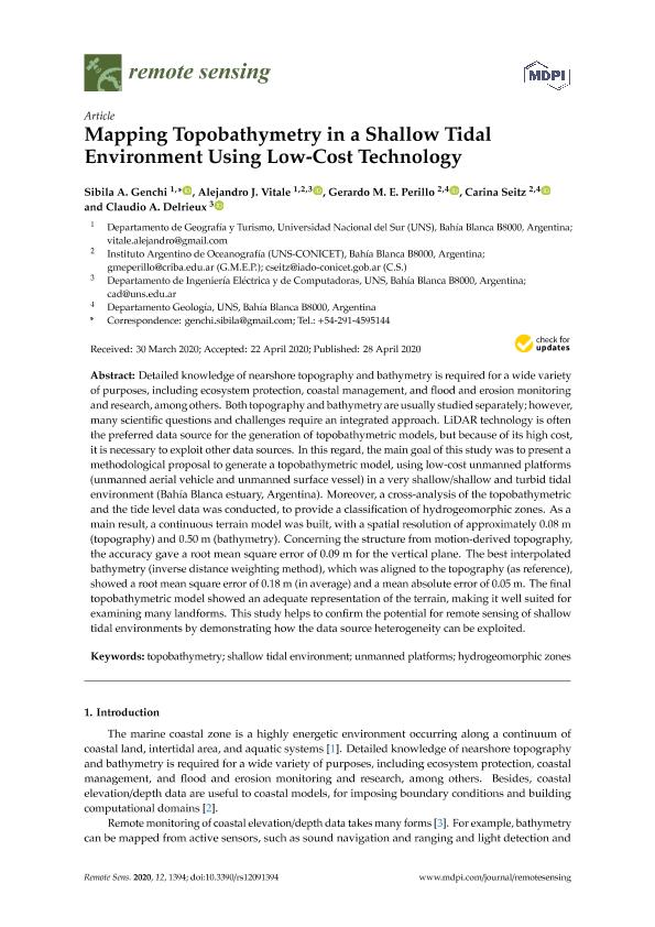
Detailed knowledge of nearshore topography and bathymetry is required for a wide variety of purposes, including ecosystem protection, coastal management, and flood and erosion monitoring and research, among others. Both topography and bathymetry are usually studied separately; however, many scientific questions and challenges require an integrated approach. LiDAR technology is often the preferred data source for the generation of topobathymetric models, but because of its high cost, it is necessary to exploit other data sources. In this regard, the main goal of this study was to present a methodological proposal to generate a topobathymetric model, using low-cost unmanned platforms (unmanned aerial vehicle and unmanned surface vessel) in a very shallow/shallow and turbid tidal environment (Bahia Blanca estuary, Argentina). Moreover, a cross-analysis of the topobathymetric and the tide level data was conducted, to provide a classification of hydrogeomorphic zones. As a main result, a continuous terrain model was built, with a spatial resolution of approximately 0.08 m (topography) and 0.50 m (bathymetry). Concerning the structure from motion-derived topography, the accuracy gave a root mean square error of 0.09 m for the vertical plane. The best interpolated bathymetry (inverse distance weighting method), which was aligned to the topography (as reference), showed a root mean square error of 0.18 m (in average) and a mean absolute error of 0.05 m. The final topobathymetric model showed an adequate representation of the terrain, making it well suited for examining many landforms. This study helps to confirm the potential for remote sensing of shallow tidal environments by demonstrating how the data source heterogeneity can be exploited.
dc.format
application/pdf
dc.language.iso
eng
dc.publisher
Multidisciplinary Digital Publishing Institute
dc.rights
info:eu-repo/semantics/openAccess
dc.rights.uri
https://creativecommons.org/licenses/by/2.5/ar/
dc.subject
HYDROGEOMORPHIC ZONES
dc.subject
SHALLOW TIDAL ENVIRONMENT
dc.subject
TOPOBATHYMETRY
dc.subject
UNMANNED PLATFORMS
dc.subject.classification
Otras Ciencias de la Computación e Información

dc.subject.classification
Ciencias de la Computación e Información

dc.subject.classification
CIENCIAS NATURALES Y EXACTAS

dc.title
Mapping Topobathymetry in a Shallow Tidal Environment Using Low-Cost Technology
dc.type
info:eu-repo/semantics/article
dc.type
info:ar-repo/semantics/artículo
dc.type
info:eu-repo/semantics/publishedVersion
dc.date.updated
2021-02-10T16:59:10Z
dc.journal.volume
12
dc.journal.number
9
dc.journal.pagination
1-17; 1394
dc.journal.pais
Suiza

dc.journal.ciudad
Basilea
dc.description.fil
Fil: Genchi, Sibila Andrea. Consejo Nacional de Investigaciones Científicas y Técnicas. Centro Científico Tecnológico Conicet - Bahía Blanca; Argentina. Universidad Nacional del Sur. Departamento de Geografía y Turismo; Argentina
dc.description.fil
Fil: Vitale, Alejandro José. Consejo Nacional de Investigaciones Científicas y Técnicas. Centro Científico Tecnológico Conicet - Bahía Blanca. Instituto Argentino de Oceanografía. Universidad Nacional del Sur. Instituto Argentino de Oceanografía; Argentina. Universidad Nacional del Sur. Departamento de Geografía y Turismo; Argentina. Universidad Nacional del Sur. Departamento de Ingeniería Eléctrica y de Computadoras; Argentina
dc.description.fil
Fil: Perillo, Gerardo Miguel E.. Consejo Nacional de Investigaciones Científicas y Técnicas. Centro Científico Tecnológico Conicet - Bahía Blanca. Instituto Argentino de Oceanografía. Universidad Nacional del Sur. Instituto Argentino de Oceanografía; Argentina. Universidad Nacional del Sur. Departamento de Geología; Argentina
dc.description.fil
Fil: Seitz, Carina. Consejo Nacional de Investigaciones Científicas y Técnicas. Centro Científico Tecnológico Conicet - Bahía Blanca. Instituto Argentino de Oceanografía. Universidad Nacional del Sur. Instituto Argentino de Oceanografía; Argentina. Universidad Nacional del Sur. Departamento de Geología; Argentina
dc.description.fil
Fil: Delrieux, Claudio Augusto. Consejo Nacional de Investigaciones Científicas y Técnicas. Centro Científico Tecnológico Conicet - Bahía Blanca; Argentina. Universidad Nacional del Sur. Departamento de Ingeniería Eléctrica y de Computadoras; Argentina
dc.journal.title
Remote Sensing
dc.relation.alternativeid
info:eu-repo/semantics/altIdentifier/url/https://www.mdpi.com/2072-4292/12/9/1394
dc.relation.alternativeid
info:eu-repo/semantics/altIdentifier/doi/http://dx.doi.org/10.3390/rs12091394
Archivos asociados
