Artículo
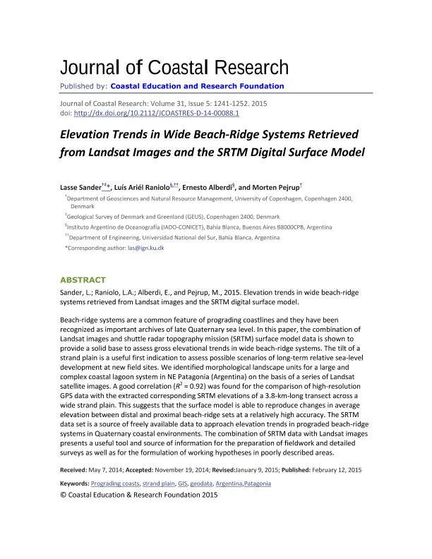
Elevation Trends in Wide Beach-Ridge Systems Retrieved from Landsat Images and_the SRTM Digital Surface Model
Fecha de publicación:
02/2015
Editorial:
Coastal Education & Research Foundation
Revista:
Journal Of Coastal Research
ISSN:
0749-0208
Idioma:
Inglés
Tipo de recurso:
Artículo publicado
Clasificación temática:
Resumen
Beach-ridge systems are a common feature of prograding coastlines and they have been recognized as important archives of late Quaternary sea level. In this paper, the combination of Landsat images and shuttle radar topography mission (SRTM) surface model data is shown to provide a solid base to assess gross elevational trends in wide beach-ridge systems. The tilt of a strand plain is a useful first indication to assess possible scenarios of long-term relative sea-level development at new field sites. We identified morphological landscape units for a large and complex coastal lagoon system in NE Patagonia (Argentina) on the basis of a series of Landsat satellite images. A good correlation (R2 = 0.92) was found for the comparison of high-resolution GPS data with the extracted corresponding SRTM elevations of a 3.8-km-long transect across a wide strand plain. This suggests that the surface model is able to reproduce changes in average elevation between distal and proximal beach-ridge sets at a relatively high accuracy. The SRTM data set is a source of freely available data to approach elevation trends in prograded beach-ridge systems in Quaternary coastal environments. The combination of SRTM data with Landsat images presents a useful tool and source of information for the preparation of fieldwork and detailed surveys as well as for the formulation of working hypotheses in poorly described areas.
Palabras clave:
Prograding Coasts
,
Strand Plain
,
Gis
,
Geodata
,
Argentina
,
Patagonia
Archivos asociados
Licencia
Identificadores
Colecciones
Articulos(IADO)
Articulos de INST.ARG.DE OCEANOGRAFIA (I)
Articulos de INST.ARG.DE OCEANOGRAFIA (I)
Citación
Lasse, Sander; Raniolo, Luis Ariel; Alberdi, Ernesto ; Pejrup, Morten ; Elevation Trends in Wide Beach-Ridge Systems Retrieved from Landsat Images and_the SRTM Digital Surface Model; Coastal Education & Research Foundation; Journal Of Coastal Research; 31; 5; 2-2015; 1241-1252
Compartir
Altmétricas


