Mostrar el registro sencillo del ítem
dc.contributor.author
Zunino Suarez, Alejandro Octavio

dc.contributor.author
Velázquez, Guillermo Ángel

dc.contributor.author
Celemin, Juan Pablo

dc.contributor.author
Mateos Diaz, Cristian Maximiliano

dc.contributor.author
Hirsch Jofré, Matías Eberardo

dc.contributor.author
Rodriguez, Juan Manuel

dc.date.available
2020-10-15T00:37:54Z
dc.date.issued
2020-09
dc.identifier.citation
Zunino Suarez, Alejandro Octavio; Velázquez, Guillermo Ángel; Celemin, Juan Pablo; Mateos Diaz, Cristian Maximiliano; Hirsch Jofré, Matías Eberardo; et al.; Evaluating the Performance of Three Popular Web Mapping Libraries: A Case Study Using Argentina’s Life Quality Index; MDPI; International Journal of Geo-Information; 9; 563; 9-2020; 1-20
dc.identifier.issn
2220-9964
dc.identifier.uri
http://hdl.handle.net/11336/115937
dc.description.abstract
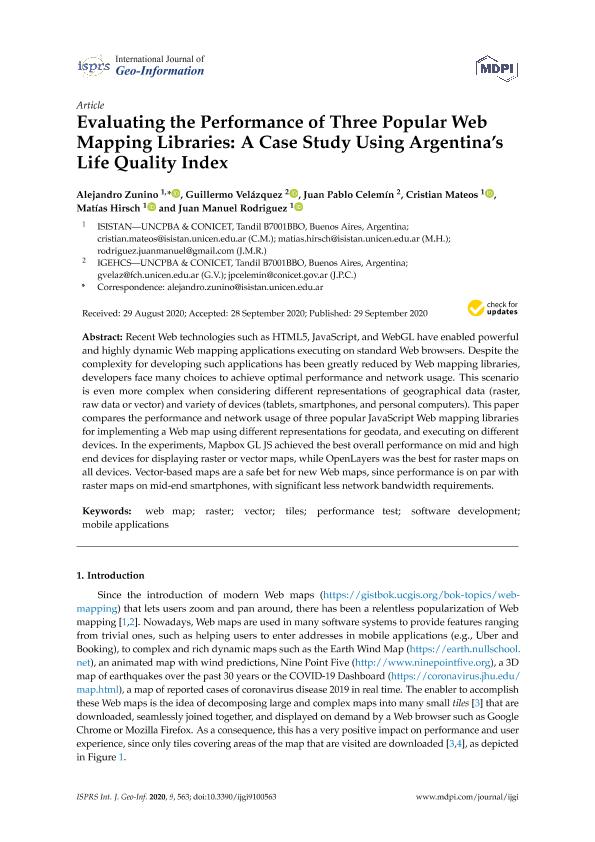
Recent Web technologies such as HTML5, JavaScript, and WebGL have enabled powerful and highly dynamic Web mapping applications executing on standard Web browsers. Despite the complexity for developing such applications has been greatly reduced by Web mapping libraries, developers face many choices to achieve optimal performance and network usage. This scenario is even more complex when considering different representations of geographical data (raster, raw data or vector) and variety of devices (tablets, smartphones, and personal computers). This paper compares the performance and network usage of three popular JavaScript Web mapping libraries for implementing a Web map using different representations for geodata, and executing on different devices. In the experiments, Mapbox GL JS achieved the best overall performance on mid and high end devices for displaying raster or vector maps, while OpenLayers was the best for raster maps on all devices. Vector-based maps are a safe bet for new Web maps, since performance is on par with raster maps on mid-end smartphones, with significant less network bandwidth requirements.
dc.format
application/pdf
dc.language.iso
eng
dc.publisher
MDPI
dc.rights
info:eu-repo/semantics/openAccess
dc.rights.uri
https://creativecommons.org/licenses/by/2.5/ar/
dc.subject
WEB MAP
dc.subject
RASTER
dc.subject
VECTOR
dc.subject
TILES
dc.subject
PERFORMANCE TEST
dc.subject
SOFTWARE DEVELOPMENT
dc.subject
MOBILE APPLICATIONS
dc.subject.classification
Otras Geografía Económica y Social

dc.subject.classification
Geografía Económica y Social

dc.subject.classification
CIENCIAS SOCIALES

dc.title
Evaluating the Performance of Three Popular Web Mapping Libraries: A Case Study Using Argentina’s Life Quality Index
dc.type
info:eu-repo/semantics/article
dc.type
info:ar-repo/semantics/artículo
dc.type
info:eu-repo/semantics/publishedVersion
dc.date.updated
2020-10-14T21:20:25Z
dc.journal.volume
9
dc.journal.number
563
dc.journal.pagination
1-20
dc.journal.pais
Suiza

dc.journal.ciudad
Basilea
dc.description.fil
Fil: Zunino Suarez, Alejandro Octavio. Consejo Nacional de Investigaciones Científicas y Técnicas. Centro Científico Tecnológico Conicet - Tandil. Instituto Superior de Ingeniería del Software. Universidad Nacional del Centro de la Provincia de Buenos Aires. Instituto Superior de Ingeniería del Software; Argentina
dc.description.fil
Fil: Velázquez, Guillermo Ángel. Consejo Nacional de Investigaciones Científicas y Técnicas. Centro Científico Tecnológico Conicet - Tandil. Instituto de Geografía, Historia y Ciencias Sociales. Universidad Nacional del Centro de la Provincia de Buenos Aires. Instituto de Geografía, Historia y Ciencias Sociales; Argentina
dc.description.fil
Fil: Celemin, Juan Pablo. Consejo Nacional de Investigaciones Científicas y Técnicas. Centro Científico Tecnológico Conicet - Tandil. Instituto de Geografía, Historia y Ciencias Sociales. Universidad Nacional del Centro de la Provincia de Buenos Aires. Instituto de Geografía, Historia y Ciencias Sociales; Argentina
dc.description.fil
Fil: Mateos Diaz, Cristian Maximiliano. Consejo Nacional de Investigaciones Científicas y Técnicas. Centro Científico Tecnológico Conicet - Tandil. Instituto Superior de Ingeniería del Software. Universidad Nacional del Centro de la Provincia de Buenos Aires. Instituto Superior de Ingeniería del Software; Argentina
dc.description.fil
Fil: Hirsch Jofré, Matías Eberardo. Consejo Nacional de Investigaciones Científicas y Técnicas. Centro Científico Tecnológico Conicet - Tandil. Instituto Superior de Ingeniería del Software. Universidad Nacional del Centro de la Provincia de Buenos Aires. Instituto Superior de Ingeniería del Software; Argentina
dc.description.fil
Fil: Rodriguez, Juan Manuel. Consejo Nacional de Investigaciones Científicas y Técnicas. Centro Científico Tecnológico Conicet - Tandil. Instituto Superior de Ingeniería del Software. Universidad Nacional del Centro de la Provincia de Buenos Aires. Instituto Superior de Ingeniería del Software; Argentina
dc.journal.title
International Journal of Geo-Information
dc.relation.alternativeid
info:eu-repo/semantics/altIdentifier/url/https://www.mdpi.com/2220-9964/9/10/563
dc.relation.alternativeid
info:eu-repo/semantics/altIdentifier/doi/http://dx.doi.org/10.3390/ijgi9100563
Archivos asociados
