Mostrar el registro sencillo del ítem
dc.contributor.author
Panizza, María Cecilia

dc.contributor.author
Oliva, Camila

dc.date.available
2020-05-07T20:42:11Z
dc.date.issued
2018-12
dc.identifier.citation
Panizza, María Cecilia; Oliva, Camila; Carta arqueológica de Puan (Provincia de Buenos Aires): una herramienta para la investigación y la conservación del patrimonio; Museo de Ciencias Naturales y Antropológicas "Prof. Antonio Serrano"; Revista de Antropología del Museo de Entre Ríos; 4; 2; 12-2018; 67-83
dc.identifier.issn
2347-033x
dc.identifier.uri
http://hdl.handle.net/11336/104564
dc.description.abstract
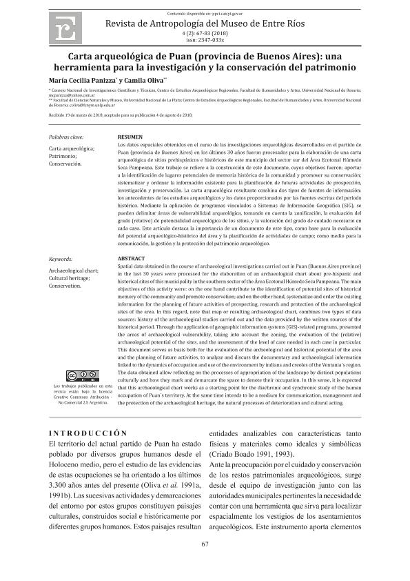
Los datos espaciales obtenidos en el curso de las investigaciones arqueológicas desarrolladas en el partido de Puan (provincia de Buenos Aires) en los últimos 30 años fueron procesados para la elaboración de una carta arqueológica de sitios prehispánicos e históricos de este municipio del sector sur del Área Ecotonal Húmedo Seca Pampeana. Los objetivos fueron: aportar a la identificación de lugares potenciales de memoria histórica de la comunidad y promover su conservación; sistematizar y ordenar la información existente para la planificación de futuras actividades de prospección, investigación y preservación. La carta arqueológica resultante combina dos tipos de fuentes de información: los antecedentes de los estudios arqueológicos y los datos proporcionados por las fuentes escritas del período histórico. Mediante la aplicación de programas vinculados a Sistemas de Información Geográfica (SIG), se pueden delimitar áreas de vulnerabilidad arqueológica, tomando en cuenta la zonificación, la evaluación del grado (relativo) de potencialidad arqueológica de los sitios, y la valoración del grado de cuidado necesario en cada caso. Este artículo destaca la importancia de un documento de este tipo, como base para la evaluación del potencial arqueológico-histórico del área y la planificación de actividades de campo; como medio para la comunicación, la gestión y la protección del patrimonio arqueológico.
dc.description.abstract
Spatial data obtained in the course of archaeological investigations carried out in Puan (Buenos Aires province) in the last 30 years were processed for the elaboration of an archaeological chart about pre-hispanic and historical sites of this municipality in the southern sector of the Área Ecotonal Húmedo Seca Pampeana. The main objectives of this activity were: on the one hand contribute to the identification of potential sites of historical memory of the community and promote conservation; and on the other hand, systematize and order the existing information for the planning of future activities of prospecting, research and protection of the archaeological sites of the area. In this regard, note that map or resulting archaeological chart, combines two types of data sources: history of the archaeological studies carried out and the data provided by the written sources of the historical period. Through the application of geographic information systems (GIS)-related programs, presented the areas of archaeological vulnerability, taking into account the zoning, the evaluation of the (relative) archaeological potential of the sites, and the assessment of the level of care needed in each case in particular. This document serves as basis both for the evaluation of the archeological and historical potential of the area and the planning of future activities, to analyze and discuss the documentary and archaeological information linked to the dynamics of occupation and use of the environment by indians and creoles of the Ventania´s region. The data obtained allow reflecting on the processes of appropriation of the landscape by distinct populations culturally and how they mark and demarcate the space to denote their occupation. In this sense, it is expected that this archaeological chart works as a starting point for the diachronic and synchronic study of the human occupation of Puan´s territory. At the same time intends to be a medium for communication, management and the protection of the archaeological heritage, the natural processes of deterioration and cultural acting.
dc.format
application/pdf
dc.language.iso
spa
dc.publisher
Museo de Ciencias Naturales y Antropológicas "Prof. Antonio Serrano"
dc.rights
info:eu-repo/semantics/openAccess
dc.rights.uri
https://creativecommons.org/licenses/by-nc/2.5/ar/
dc.subject
PATRIMONIO
dc.subject
CARTA ARQUEOLÓGICA
dc.subject
CONSERVACIÓN
dc.subject
PUAN
dc.subject.classification
Arqueología

dc.subject.classification
Historia y Arqueología

dc.subject.classification
HUMANIDADES

dc.title
Carta arqueológica de Puan (Provincia de Buenos Aires): una herramienta para la investigación y la conservación del patrimonio
dc.type
info:eu-repo/semantics/article
dc.type
info:ar-repo/semantics/artículo
dc.type
info:eu-repo/semantics/publishedVersion
dc.date.updated
2020-04-02T14:12:33Z
dc.journal.volume
4
dc.journal.number
2
dc.journal.pagination
67-83
dc.journal.pais
Argentina

dc.journal.ciudad
Paraná
dc.description.fil
Fil: Panizza, María Cecilia. Consejo Nacional de Investigaciones Científicas y Técnicas. Centro Científico Tecnológico Conicet - Rosario; Argentina. Universidad Nacional de Rosario. Facultad de Humanidades y Artes; Argentina
dc.description.fil
Fil: Oliva, Camila. Universidad Nacional de La Plata. Facultad de Ciencias Naturales y Museo; Argentina. Universidad Nacional de Rosario. Facultad de Humanidades y Artes; Argentina
dc.journal.title
Revista de Antropología del Museo de Entre Ríos
dc.relation.alternativeid
info:eu-repo/semantics/altIdentifier/url/http://ppct.caicyt.gov.ar/index.php/antropmuser/article/view/12609
Archivos asociados
